Chest opened
+${chestReward.xp} XP
Explorer
NOUVEAU ×${chestReward.collectible.quantity}
tapez pour fermer
Chest locked

Open chests in the app

Around Us is built for your phone — chests unlock when you walk, explore and capture nearby places.

Enable Location

We need your location to show you interesting places around you

Discover nearby places

Find interesting locations and hidden gems around you

Precise directions

Get accurate directions and distances to places

Your location is never shared with other users. It's only used when you tap the location button.

Yartsevo

Log in to your account

Start exploring — it's free

Trusted by 72,892 travelers worldwide

Continue with Google
Continue with Apple
or

We will send you a code to connect

By continuing, you accept our Terms and Conditions and our Privacy Policy

Check your inbox

We've sent a pincode in your inbox. Please enter the code below.

Discussion Reviews 1 Photos
39.4k Popularity

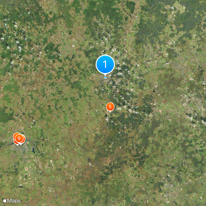
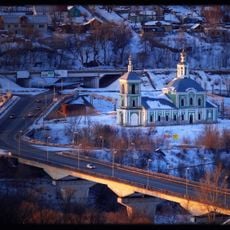
Yartsevo, Administrative center in Smolensk Oblast, Russia

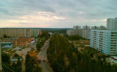
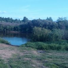
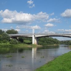
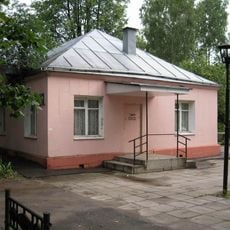
Yartsevo is a town in Smolensk Oblast that stretches along the Vop River, characterized by residential neighborhoods and industrial facilities. The settlement sits at an elevation of about 190 meters and displays a mix of older factory buildings and more recent residential structures.

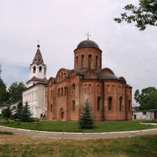
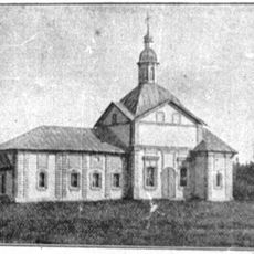
The settlement began in 1859 as a small village called Yartsevo-Perevoz at a river crossing. It transformed into a regional industrial center following the construction of a cotton mill in 1873.

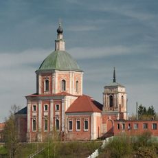
The cultural institutions reflect the town's industrial heritage, with museums and performance spaces documenting the role of textile production in shaping local identity. These venues showcase how this manufacturing tradition continues to influence the community's self-image and daily practices.

Bus services regularly connect the town to Smolensk, situated roughly 63 kilometers to the southwest. Summer offers the most comfortable visiting conditions, with mild weather and accessible roads throughout the settlement.

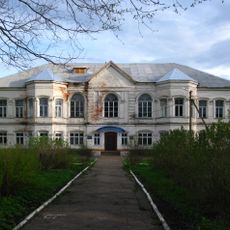
Parts of the original cotton mill still stand, displaying the industrial craftsmanship of the 19th century. Visitors can see in these remaining structures how production operated and shaped the growth of this riverside location.

The community of curious travelers

AroundUs brings together thousands of curated places, local tips, and hidden gems, enriched daily by 60,000 contributors worldwide.

Start exploring
Location
Elevation above the sea
190 m
GPS coordinates
55.06667,32.68333
Latest update
December 17, 2025 09:10
Around this place
Assumption Cathedral in Smolensk
Russian Federation

Assumption Cathedral in Smolensk

50.7 km
Smolensk Kremlin
Russian Federation

Smolensk Kremlin

52 km
Church of Saint Peter and Saint Paul on Gorodyanka
Russian Federation

Church of Saint Peter and Saint Paul on Gorodyanka

51.1 km
Solovyovo crossing
Russian Federation

Solovyovo crossing

16.1 km
Veselukha Tower
Russian Federation

Veselukha Tower

50.1 km
Avraamiev Monastery
Russian Federation

Avraamiev Monastery

50.6 km
Eagle Tower
Russian Federation

Eagle Tower

50.3 km
Mikhail Kutuzov monument in Smolensk
Russian Federation

Mikhail Kutuzov monument in Smolensk

50.9 km
Kostirevskaya Tower
Russian Federation

Kostirevskaya Tower

50.3 km
Troitsky Monastery
Russian Federation

Troitsky Monastery

50.9 km
Dnieper Gate
Russian Federation

Dnieper Gate

50.8 km
Church of the Erection of the Cross
Russian Federation

Church of the Erection of the Cross

49.5 km
Russian Federation

Avraamievskaya Tower

50.5 km
Category:Church of Saint Barbara, Smolensk
Russian Federation

Category:Church of Saint Barbara, Smolensk

51.1 km
Nikolskaya Tower
Russian Federation

Nikolskaya Tower

51.1 km
Zimbulka Tower
Russian Federation

Zimbulka Tower

51 km
Tyushino Estate, Smolensk Oblast
Russian Federation

Tyushino Estate, Smolensk Oblast

34.7 km
St. George's church
Russian Federation

St. George's church

50.6 km
Pozdnyakova Tower
Russian Federation

Pozdnyakova Tower

50.3 km
Russian Federation

Дорогобужский Вал

42.6 km
Uspensky Bridge
Russian Federation

Uspensky Bridge

50.8 km
Сафоновский историко-краеведческий музей
Russian Federation

Сафоновский историко-краеведческий музей

36.1 km
Zaaltarnaya Tower
Russian Federation

Zaaltarnaya Tower

50.6 km
Bizukov Monastery
Russian Federation

Bizukov Monastery

32.7 km
Dolgochevskaya Tower
Russian Federation

Dolgochevskaya Tower

50.9 km
Krestovozdvizhenskiy Bridge
Russian Federation

Krestovozdvizhenskiy Bridge

49.6 km
Category:Bolshaya Sovetskaya Street 10/2, Smolensk
Russian Federation

Category:Bolshaya Sovetskaya Street 10/2, Smolensk

51.1 km
Церковь Покрова Богородицы (Чижево)
Russian Federation

Церковь Покрова Богородицы (Чижево)

33.3 km
Show the full map
Reviews
Share your experience

No review yet

Discussions
Start a discussion...

No discussion yet

« Yartsevo - Administrative center in Smolensk Oblast, Russia » is provided by Around Us (aroundus.com). Images and texts are derived from Wikimedia project under a Creative Commons license. You are allowed to copy, distribute, and modify copies of this page, under the conditions set by the license, as long as this note is clearly visible.

Discover hidden gems everywhere you go!

From secret cafés to breathtaking viewpoints, skip the crowded tourist spots and find places that match your style. Our app makes it easy with voice search, smart filtering, route optimization, and insider tips from travelers worldwide. Download now for the complete mobile experience.

Around Us App Screenshot

A unique approach to discovering new places

Le Figaro

All the places worth exploring

France Info

A tailor-made excursion in just a few clicks

20 Minutes

Around Us
Travel Guide & Maps
Download

Send to your phone

QR Code
1

Open the camera app on your mobile.

2

Point at the QR code with your camera. A notification will appear.

3

Tap the notification to open the link.