Chest opened
+${chestReward.xp} XP
Explorer
NOUVEAU ×${chestReward.collectible.quantity}
tapez pour fermer
Chest locked

Open chests in the app

Around Us is built for your phone — chests unlock when you walk, explore and capture nearby places.

Enable Location

We need your location to show you interesting places around you

Discover nearby places

Find interesting locations and hidden gems around you

Precise directions

Get accurate directions and distances to places

Your location is never shared with other users. It's only used when you tap the location button.

Aurgazinsky District

Log in to your account

Start exploring — it's free

Trusted by 72,886 travelers worldwide

Continue with Google
Continue with Apple
or

We will send you a code to connect

By continuing, you accept our Terms and Conditions and our Privacy Policy

Check your inbox

We've sent a pincode in your inbox. Please enter the code below.

Aurgazinsky District
Discussion Reviews 1 Photos
11.7k Popularity

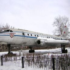
Aurgazinsky District, Municipal district in Bashkortostan, Russia.

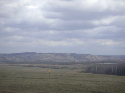
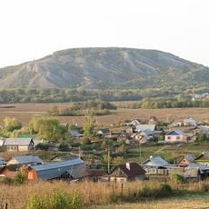
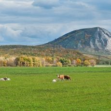
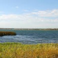
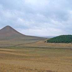
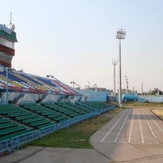
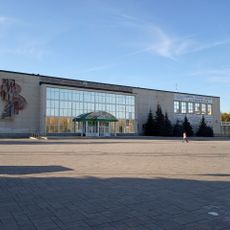
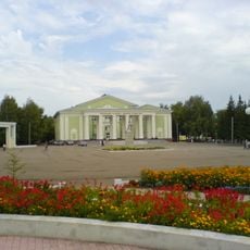
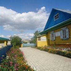
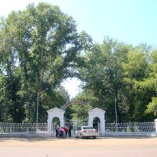
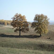
Aurgazinsky District is a municipal area in Bashkortostan with rolling terrain and fertile plains suited to farming and livestock raising. The town of Tolbazy serves as the administrative hub, where residents access local services and commerce.

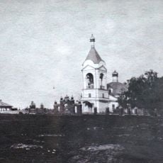
The district was established as an administrative entity on August 20, 1930, and remained part of the Bashkir Autonomous Soviet Socialist Republic until 1990. This long period shaped the local administration and settlement patterns that persist today.

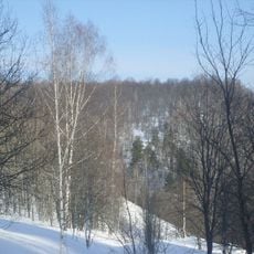
The communities here live closely tied to the land, with Bashkir and Russian families sharing rural traditions and practices. Local customs reflect the rhythms of farming and seasonal work that define daily life.

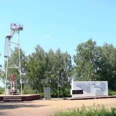
The infrastructure here is typical for rural areas, with Tolbazy as the center for essential services and local connections. Visitors should expect travel between settlements to take time and plan accordingly using available regional transport.

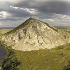
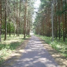
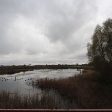
The area sits at roughly 205 meters elevation, creating natural drainage and soil conditions favorable for sustained farming. This geographic advantage has supported continuous agricultural settlement throughout the region's modern history.

The community of curious travelers

AroundUs brings together thousands of curated places, local tips, and hidden gems, enriched daily by 60,000 contributors worldwide.

Start exploring
Location
Inception
August 20, 1930
Capital city
Tolbazy
Elevation above the sea
205 m
Shares border with
Karmaskalinsky District, Gafuriysky District, Sterlitamaksky District, Alsheyevsky District, Davlekanovsky District
GPS coordinates
54.00583,55.89417
Latest update
December 7, 2025 20:49
Around this place
Kushtau
Russian Federation

Kushtau

37 km
Trataw mountain
Russian Federation

Trataw mountain

52 km
Yuraktau
Russian Federation

Yuraktau

32.3 km
Sufiya Mosque, Kantyukovka
Russian Federation

Sufiya Mosque, Kantyukovka

62.8 km
Lake Beloye
Russian Federation

Lake Beloye

25.1 km
Kinderle Cave
Russian Federation

Kinderle Cave

64.9 km
Tabynsky monastery
Russian Federation

Tabynsky monastery

42.8 km
Vertolyotnaya Cave
Russian Federation

Vertolyotnaya Cave

26.4 km
Babushka-tower, Ishimbay
Russian Federation

Babushka-tower, Ishimbay

62.2 km
Susaktau
Russian Federation

Susaktau

55.4 km
Arena Sterlitamak
Russian Federation

Arena Sterlitamak

43.6 km
Karlaman Cave
Russian Federation

Karlaman Cave

36.3 km
Sodovik Stadium
Russian Federation

Sodovik Stadium

40.9 km
Стерлитамакская государственная филармония
Russian Federation

Стерлитамакская государственная филармония

39.7 km
Church of the Theotokos of Kazan
Russian Federation

Church of the Theotokos of Kazan

43.1 km
Annunciation convent
Russian Federation

Annunciation convent

44.4 km
Samolyot
Russian Federation

Samolyot

62.6 km
Kirov Palace of Culture
Russian Federation

Kirov Palace of Culture

62.6 km
Park Polyakova in Ishimbay
Russian Federation

Park Polyakova in Ishimbay

61.1 km
Свято-Троицкий храм
Russian Federation

Свято-Троицкий храм

62.8 km
"Ozodlik" Sterlitamakdagi yodgorlik
Russian Federation

"Ozodlik" Sterlitamakdagi yodgorlik

43.6 km
Eňeü parkı
Russian Federation

Eňeü parkı

61.5 km
Neftyanik stadionu
Russian Federation

Neftyanik stadionu

62.4 km
Zeki Velidi museum in Ishimbaysky District
Russian Federation

Zeki Velidi museum in Ishimbaysky District

61.9 km
А. М. Матросов исемендәге Үҙәк мәҙәниәт һәм ял паркы (Ишембай)
Russian Federation

А. М. Матросов исемендәге Үҙәк мәҙәниәт һәм ял паркы (Ишембай)

62.9 km
Ишембай заказнигы
Russian Federation

Ишембай заказнигы

66 km
Памятник природы регионального значения "Белое озеро"
Russian Federation

Памятник природы регионального значения "Белое озеро"

26.1 km
Әхмәр ҡәберлеге (Ишембай районы)
Russian Federation

Әхмәр ҡәберлеге (Ишембай районы)

50.8 km
Show the full map
Reviews
Share your experience

No review yet

Discussions
Start a discussion...

No discussion yet

« Aurgazinsky District - Municipal district in Bashkortostan, Russia » is provided by Around Us (aroundus.com). Images and texts are derived from Wikimedia project under a Creative Commons license. You are allowed to copy, distribute, and modify copies of this page, under the conditions set by the license, as long as this note is clearly visible.

Discover hidden gems everywhere you go!

From secret cafés to breathtaking viewpoints, skip the crowded tourist spots and find places that match your style. Our app makes it easy with voice search, smart filtering, route optimization, and insider tips from travelers worldwide. Download now for the complete mobile experience.

Around Us App Screenshot

A unique approach to discovering new places

Le Figaro

All the places worth exploring

France Info

A tailor-made excursion in just a few clicks

20 Minutes

Around Us
Travel Guide & Maps
Download

Send to your phone

QR Code
1

Open the camera app on your mobile.

2

Point at the QR code with your camera. A notification will appear.

3

Tap the notification to open the link.