Chest opened
+${chestReward.xp} XP
Explorer
NOUVEAU ×${chestReward.collectible.quantity}
tapez pour fermer
Chest locked

Open chests in the app

Around Us is built for your phone — chests unlock when you walk, explore and capture nearby places.

Enable Location

We need your location to show you interesting places around you

Discover nearby places

Find interesting locations and hidden gems around you

Precise directions

Get accurate directions and distances to places

Your location is never shared with other users. It's only used when you tap the location button.

Kayakentsky District

Log in to your account

Start exploring — it's free

Trusted by 72,880 travelers worldwide

Continue with Google
Continue with Apple
or

We will send you a code to connect

By continuing, you accept our Terms and Conditions and our Privacy Policy

Check your inbox

We've sent a pincode in your inbox. Please enter the code below.

Discussion Reviews 1 Photos
11k Popularity

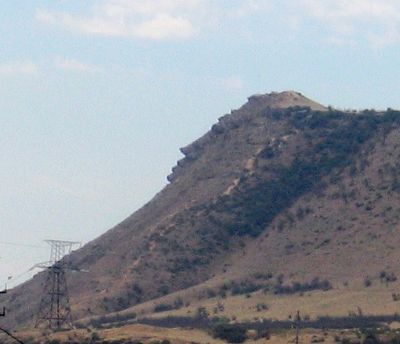
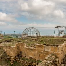
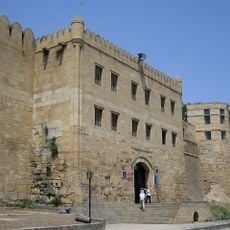
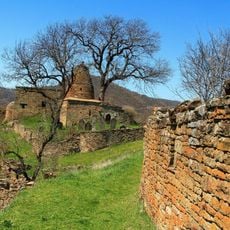
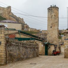
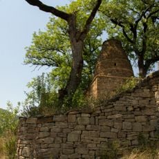
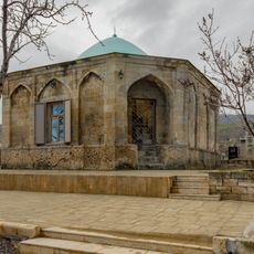
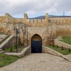
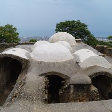
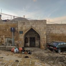
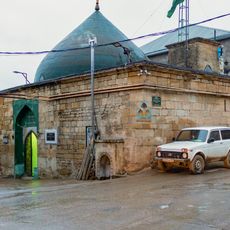
Kayakentsky District, Municipal district in eastern Dagestan, Russia.

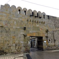
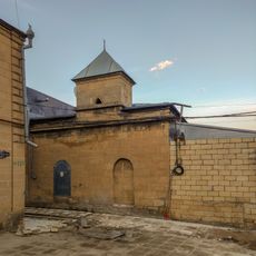
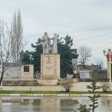
Kayakentsky District is a municipal district in eastern Dagestan with Novokayakent as its administrative hub. The area consists of several rural communities arranged according to traditional administrative divisions of the North Caucasus region.

The district was established in 1935 as part of administrative reforms within the Dagestan Autonomous Soviet Socialist Republic. Its creation occurred during a broader reorganization of the region's governance structure.

The district includes nineteen rural localities organized into five selsoviets, reflecting the traditional administrative structure of the North Caucasus region.

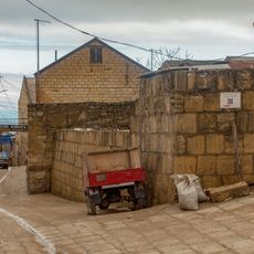
The district operates on Moscow Standard Time (UTC+3). Since the area consists entirely of rural settlements, visitors should plan ahead for supplies and services.

The entire population of Kayakentsky District lives in rural settings, with a density of 85 people per square kilometer across the territory.

The community of curious travelers

AroundUs brings together thousands of curated places, local tips, and hidden gems, enriched daily by 60,000 contributors worldwide.

Start exploring
Location
Inception
1935
Capital city
Novokayakent
GPS coordinates
42.38722,47.98667
Latest update
December 8, 2025 13:43
Around this place
Naryn Castle
Russian Federation

Naryn Castle

44.1 km
Cidadela, cidade velha e fortificações de Derbent
Russian Federation

Cidadela, cidade velha e fortificações de Derbent

43.6 km
Kyrkhlyar
Russian Federation

Kyrkhlyar

43.7 km
Пещера Дюрк
Russian Federation

Пещера Дюрк

42.8 km
Водохранилище крестообразное (Дербент)
Russian Federation

Водохранилище крестообразное (Дербент)

44.1 km
Ворота «Нарын-Кала-Капы» (Дербент)
Russian Federation

Ворота «Нарын-Кала-Капы» (Дербент)

44.1 km
Водохранилище подземное № 2 (Дербент)
Russian Federation

Водохранилище подземное № 2 (Дербент)

44 km
Родник «Кала-Булаг» (Дербент)
Russian Federation

Родник «Кала-Булаг» (Дербент)

44.1 km
Мавзолей (Кала-Корейш)
Russian Federation

Мавзолей (Кала-Корейш)

41.7 km
Мечеть с минаретом (Дербент)
Russian Federation

Мечеть с минаретом (Дербент)

44 km
Ворота «Кырхляр-Капы» (Дербент)
Russian Federation

Ворота «Кырхляр-Капы» (Дербент)

44 km
Килиса-мечеть (Дербент)
Russian Federation

Килиса-мечеть (Дербент)

44.1 km
Кладбище уцмиев (Кала-Корейш)
Russian Federation

Кладбище уцмиев (Кала-Корейш)

41.7 km
Памятник воинам 345-й стрелковой дивизии (Дербент)
Russian Federation

Памятник воинам 345-й стрелковой дивизии (Дербент)

43.6 km
Джума-мечеть (Кала-Корейш)
Russian Federation

Джума-мечеть (Кала-Корейш)

41.7 km
Арабское кладбище (Кара-корейш)
Russian Federation

Арабское кладбище (Кара-корейш)

41.8 km
Мавзолей Дербентских ханов (Дербент)
Russian Federation

Мавзолей Дербентских ханов (Дербент)

43.6 km
Водохранилище круглое (Дербент)
Russian Federation

Водохранилище круглое (Дербент)

44.1 km
Площадь торговая у Килиса-мечети (Дербент)
Russian Federation

Площадь торговая у Килиса-мечети (Дербент)

44.1 km
Гауптвахта (Дербент)
Russian Federation

Гауптвахта (Дербент)

44.1 km
Тюрьма подземная (зиндан) (Дербент)
Russian Federation

Тюрьма подземная (зиндан) (Дербент)

44 km
Ворота «Даг-Капы» (Дербент)
Russian Federation

Ворота «Даг-Капы» (Дербент)

44.1 km
Баня ханская (Дербент)
Russian Federation

Баня ханская (Дербент)

44.1 km
Старинная восточная баня (мужская) (Дербент)
Russian Federation

Старинная восточная баня (мужская) (Дербент)

44.1 km
Ворота «Джарчи-Капы» (Дербент)
Russian Federation

Ворота «Джарчи-Капы» (Дербент)

44 km
Кирхляр-мечеть (Дербент)
Russian Federation

Кирхляр-мечеть (Дербент)

44 km
Дворец ханский (Дербент)
Russian Federation

Дворец ханский (Дербент)

44.1 km
Тюрьма подземная малая (зиндан) (Дербент)
Russian Federation

Тюрьма подземная малая (зиндан) (Дербент)

44.1 km
Show the full map
Reviews
Share your experience

No review yet

Discussions
Start a discussion...

No discussion yet

« Kayakentsky District - Municipal district in eastern Dagestan, Russia » is provided by Around Us (aroundus.com). Images and texts are derived from Wikimedia project under a Creative Commons license. You are allowed to copy, distribute, and modify copies of this page, under the conditions set by the license, as long as this note is clearly visible.

Discover hidden gems everywhere you go!

From secret cafés to breathtaking viewpoints, skip the crowded tourist spots and find places that match your style. Our app makes it easy with voice search, smart filtering, route optimization, and insider tips from travelers worldwide. Download now for the complete mobile experience.

Around Us App Screenshot

A unique approach to discovering new places

Le Figaro

All the places worth exploring

France Info

A tailor-made excursion in just a few clicks

20 Minutes

Around Us
Travel Guide & Maps
Download

Send to your phone

QR Code
1

Open the camera app on your mobile.

2

Point at the QR code with your camera. A notification will appear.

3

Tap the notification to open the link.