Kaytagsky District, Administrative district in Dagestan, Russia
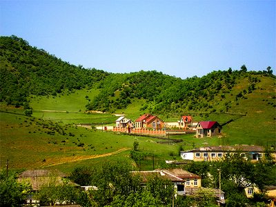
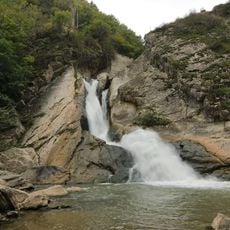
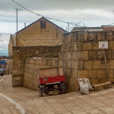
Kaytagsky District is a rural area in southeastern Dagestan containing around forty-five villages scattered across rolling terrain. These settlements are organized under local administrative units coordinated from the center of Madzhalis.
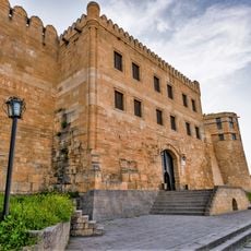
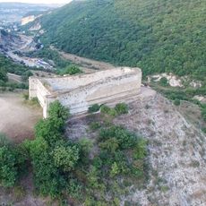
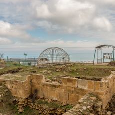
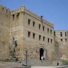
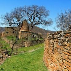
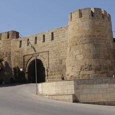
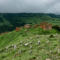
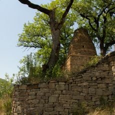
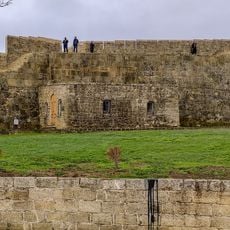
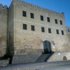
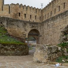
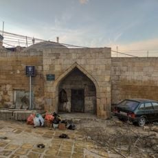
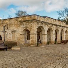
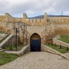
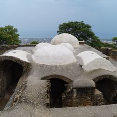
The area traces back to the ancient Kaitag Khanate, a small state whose rulers held the title of Utsmi and governed from the city of Bashli. This historical foundation continues to shape the region's structure and identity.
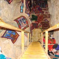
The local population speaks Dargin and maintains their traditions in daily life, from clothing to family celebrations. This language and way of living shape the character of the communities and connect them to a broader regional heritage.
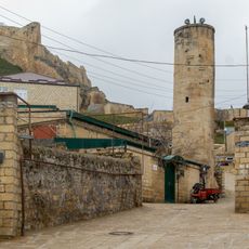
The area is entirely rural with no urban centers, so plan ahead for local transportation and the basic infrastructure available in the villages. Visitors should expect modest facilities designed around the needs of the resident communities.
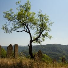
The district contains no towns and functions entirely through a network of villages that preserve traditional farming and rural social structures. This makes it one of few places where village life and older social patterns remain active today.
The community of curious travelers
AroundUs brings together thousands of curated places, local tips, and hidden gems, enriched daily by 60,000 contributors worldwide.