Chest opened
+${chestReward.xp} XP
Explorer
NOUVEAU ×${chestReward.collectible.quantity}
tapez pour fermer
Chest locked

Open chests in the app

Around Us is built for your phone — chests unlock when you walk, explore and capture nearby places.

Enable Location

We need your location to show you interesting places around you

Discover nearby places

Find interesting locations and hidden gems around you

Precise directions

Get accurate directions and distances to places

Your location is never shared with other users. It's only used when you tap the location button.

Alsheyevsky District

Log in to your account

Start exploring — it's free

Trusted by 72,883 travelers worldwide

Continue with Google
Continue with Apple
or

We will send you a code to connect

By continuing, you accept our Terms and Conditions and our Privacy Policy

Check your inbox

We've sent a pincode in your inbox. Please enter the code below.

Alsheyevsky District
Discussion Reviews 1 Photos
12.5k Popularity

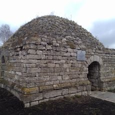
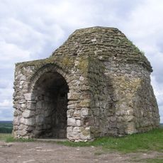
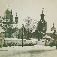
Alsheyevsky District, Municipal district in Bashkortostan, Russia

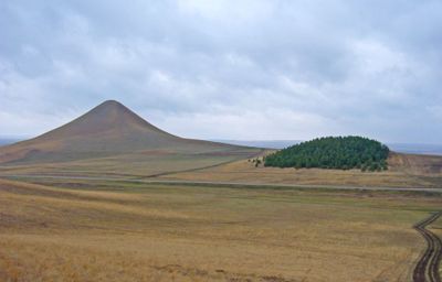
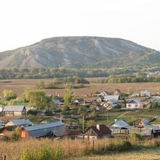
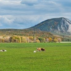
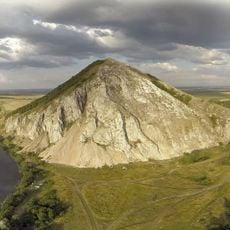
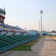
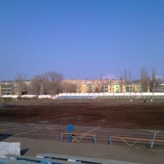
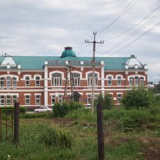
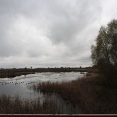
Alsheyevsky District is a municipal territory in Bashkortostan that covers a broad area with Rayevsky as its main settlement at 110 meters elevation. The region contains many rural settlements scattered across the landscape, each serving as a local center for the surrounding communities.

The district was established on January 31, 1935 as part of the Bashkir Autonomous Soviet Socialist Republic during the Soviet era. When the Soviet Union dissolved in 1990, it became an administrative division of modern Russia.

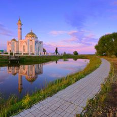
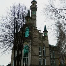
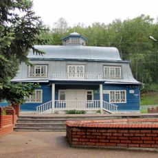
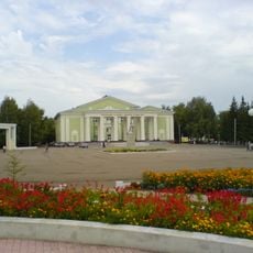
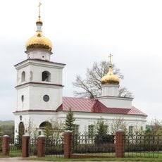
Rayevsky village serves as the heart of the district, where the rhythm of rural life unfolds around local gatherings and community ties. The settlements here maintain deep connections to the land and to each other, shaping how people live and work together.

The administrative center can be reached using postal code 452120 and the local phone area code 34754 for communications. Plan for a rural setting with distances between settlements, so travel between communities takes time.

Each of the twenty settlements in this district functions as its own administrative unit, with names like Abdrashitovsky and Aksyonovsky reflecting their individual local identities. This structure offers insight into how rural administrative divisions were organized during the Soviet period.

The community of curious travelers

AroundUs brings together thousands of curated places, local tips, and hidden gems, enriched daily by 60,000 contributors worldwide.

Start exploring
Location
Inception
January 31, 1935
Capital city
Rayevsky
Elevation above the sea
110 m
Shares border with
Davlekanovsky District, Aurgazinsky District, Sterlitamaksky District, Miyakinsky District, Bizhbulyaksky District, Belebeyevsky District
GPS coordinates
54.01667,54.95611
Latest update
December 7, 2025 20:44
Around this place
Kushtau
Russian Federation

Kushtau

82.5 km
Trataw mountain
Russian Federation

Trataw mountain

91 km
Yuraktau
Russian Federation

Yuraktau

80.9 km
Khusein-bek Mausoleum
Russian Federation

Khusein-bek Mausoleum

69.6 km
Tura-khan Mausoleum
Russian Federation

Tura-khan Mausoleum

67.7 km
Sufiya Mosque, Kantyukovka
Russian Federation

Sufiya Mosque, Kantyukovka

90.9 km
Lake Beloye
Russian Federation

Lake Beloye

86.2 km
Vertolyotnaya Cave
Russian Federation

Vertolyotnaya Cave

71.6 km
Shumilovsky waterfall
Russian Federation

Shumilovsky waterfall

94.4 km
Susaktau
Russian Federation

Susaktau

6.9 km
Saint Michael the Archangel Church
Russian Federation

Saint Michael the Archangel Church

54.8 km
Madina Mosque
Russian Federation

Madina Mosque

94.4 km
Sharlama waterfall
Russian Federation

Sharlama waterfall

42.1 km
Arena Sterlitamak
Russian Federation

Arena Sterlitamak

77 km
Karlaman Cave
Russian Federation

Karlaman Cave

84.7 km
Sodovik Stadium
Russian Federation

Sodovik Stadium

79 km
Музей Марины Цветаевой
Russian Federation

Музей Марины Цветаевой

43.6 km
Стерлитамакская государственная филармония
Russian Federation

Стерлитамакская государственная филармония

76.7 km
Church of the Theotokos of Kazan
Russian Federation

Church of the Theotokos of Kazan

79.6 km
Annunciation convent
Russian Federation

Annunciation convent

78.6 km
Kirov Palace of Culture
Russian Federation

Kirov Palace of Culture

94.9 km
"Ozodlik" Sterlitamakdagi yodgorlik
Russian Federation

"Ozodlik" Sterlitamakdagi yodgorlik

78.3 km
Eňeü parkı
Russian Federation

Eňeü parkı

94.2 km
Neftyanik stadionu
Russian Federation

Neftyanik stadionu

94.6 km
Церковь Димитрия Солунского
Russian Federation

Церковь Димитрия Солунского

52.2 km
Здание земской управы (Белебей)
Russian Federation

Здание земской управы (Белебей)

54.6 km
Asylykyul nature park
Russian Federation

Asylykyul nature park

41.6 km
Памятник природы регионального значения "Белое озеро"
Russian Federation

Памятник природы регионального значения "Белое озеро"

87.5 km
Show the full map
Reviews
Share your experience

No review yet

Discussions
Start a discussion...

No discussion yet

« Alsheyevsky District - Municipal district in Bashkortostan, Russia » is provided by Around Us (aroundus.com). Images and texts are derived from Wikimedia project under a Creative Commons license. You are allowed to copy, distribute, and modify copies of this page, under the conditions set by the license, as long as this note is clearly visible.

Discover hidden gems everywhere you go!

From secret cafés to breathtaking viewpoints, skip the crowded tourist spots and find places that match your style. Our app makes it easy with voice search, smart filtering, route optimization, and insider tips from travelers worldwide. Download now for the complete mobile experience.

Around Us App Screenshot

A unique approach to discovering new places

Le Figaro

All the places worth exploring

France Info

A tailor-made excursion in just a few clicks

20 Minutes

Around Us
Travel Guide & Maps
Download

Send to your phone

QR Code
1

Open the camera app on your mobile.

2

Point at the QR code with your camera. A notification will appear.

3

Tap the notification to open the link.