
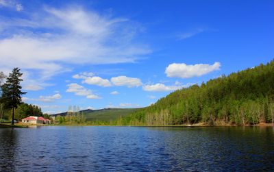
Chitinsky District, human settlement in Russia
Location: Zabaykalsky Krai
Inception: 1937
Capital city: Chita
GPS coordinates: 52.00000,113.50024
Latest update: March 12, 2025 04:33

Daursky Nature Reserve
278 km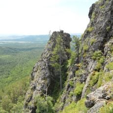
Alkhanay National Park
130 km
Akatuy katorga
315.6 km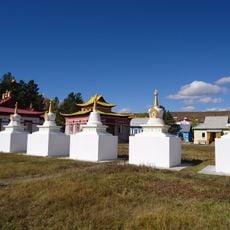
Aginsky Datsan
122.1 km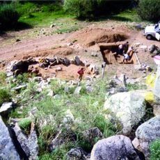
Multilayer settlement "Sunny Mys"
277.6 km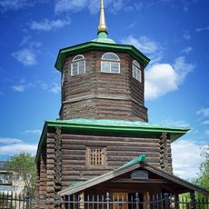
Decabrists Church, Chita
2.5 km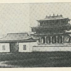
Tsugolskij Datsan
181.6 km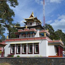
Chitinsky Datsan
6 km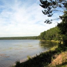
Lake Arey
192.5 km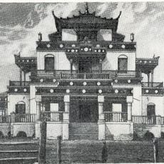
Aninsky datsan
252.9 km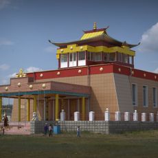
Egituysky datsan
195.7 km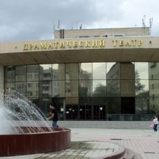
Zabaykalskiy Krayevoy Dramaticheskiy Teatr
3.4 km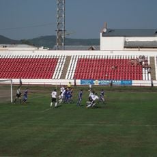
Lokomotiv Stadium
4.9 km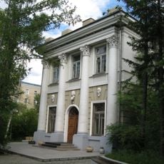
Transbaikalian historical museum in Chita
4 km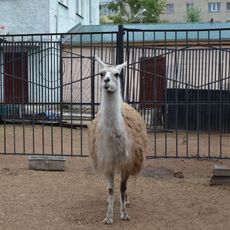
Chita Zoo
4.7 km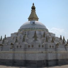
Джарун Хашор
250.4 km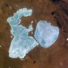
Torey Lakes
260.4 km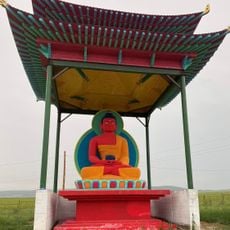
Кіжингинський дацан
256.8 km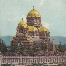
Alexander Nevsky Cathedral
3.7 km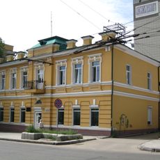
Дом Лопатиной-Гантимуровой
3.5 km
Shaman-Gora
219 km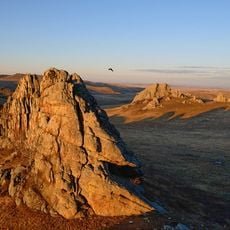
Landscapes of Dauria
267 km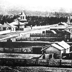
Покровский монастырь (Чита)
3.4 km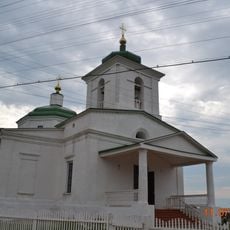
Спасо-Преображенская церковь (Баргузин)
315.7 km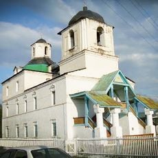
Nativity of Christ Church
301.4 km
Дом Бутлицкого (Баргузин)
315.8 km
Здание банка (Баргузин)
315.8 km
Торговое здание купца Лозовского (Баргузин)
315.9 kmReviews
Visited this place? Tap the stars to rate it and share your experience / photos with the community! Try now! You can cancel it anytime.
Discover hidden gems everywhere you go!
From secret cafés to breathtaking viewpoints, skip the crowded tourist spots and find places that match your style. Our app makes it easy with voice search, smart filtering, route optimization, and insider tips from travelers worldwide. Download now for the complete mobile experience.

A unique approach to discovering new places❞
— Le Figaro
All the places worth exploring❞
— France Info
A tailor-made excursion in just a few clicks❞
— 20 Minutes