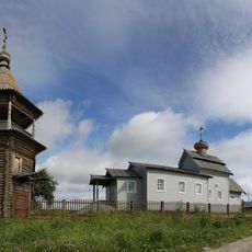
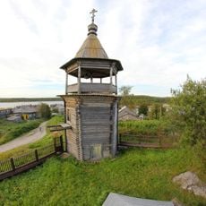
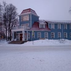
Loukhi, Urban settlement in Loukhsky District, Russia
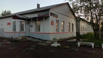
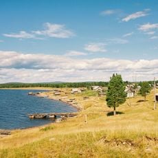
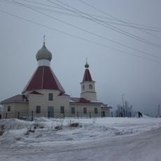
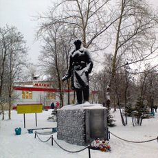
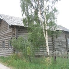
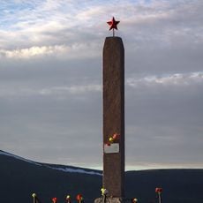
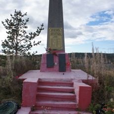
Loukhi is a settlement in the Loukhsky District, located in Russia's far north. It serves as a local administrative center with basic services and infrastructure for residents and visitors.
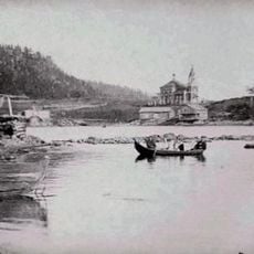
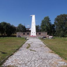
Loukhi was established in 1913 during a period of regional development in northern Russia. It grew into an established administrative center over the following decades.
The administrative classification system of urban settlements in Russia defines specific parameters for population numbers, infrastructure requirements, and economic activities.
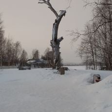
Getting around depends mainly on private transport or local buses since the remote location means limited connections. Visitors should prepare for basic amenities and bring supplies, as shopping options are limited.
The settlement maintains a distinct position in the Russian administrative hierarchy, combining elements of both urban infrastructure and regional governance systems.
The community of curious travelers
AroundUs brings together thousands of curated places, local tips, and hidden gems, enriched daily by 60,000 contributors worldwide.