Myskhako, human settlement in Municipal Formation of the City of Novorossiysk, Krasnodar Krai, Russia
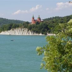
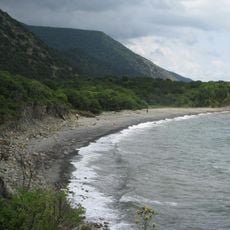
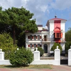
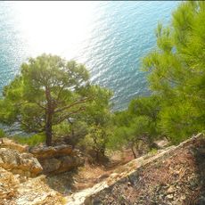
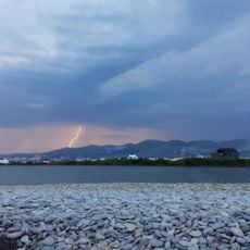
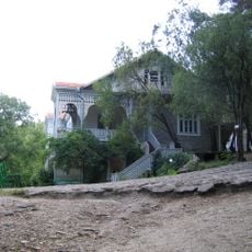
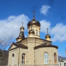
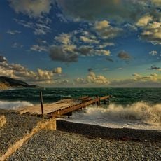
Myskhako is a small village on the Black Sea coast near Novorossiysk. It sits along a shoreline with pebbly and sandy beaches, backed by hills including Mount Koldun, and home to a historic winery that has operated since the 19th century.
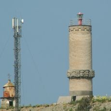
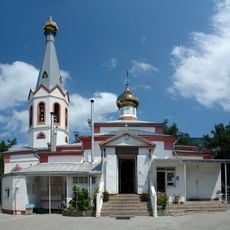
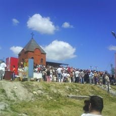
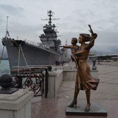
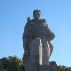
The area served as an important military position during World War II, known as Malaya Zemlya, where intense fighting took place. After the war the settlement developed into a quiet coastal place while preserving monuments and memorials that mark this historical chapter.
The settlement is known for wine production that began in 1869 and shapes daily life here. Visitors can see vineyards across the landscape and experience how locals take pride in their winemaking traditions and regional varieties.
You can reach the village easily from Novorossiysk by local minibus or taxi, which makes it a simple day trip or short stay option. Accommodations are mostly private rooms and small guesthouses that offer affordable stays suited to a relaxed beach experience.
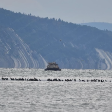
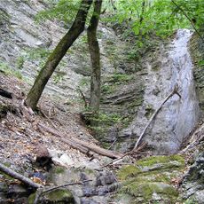
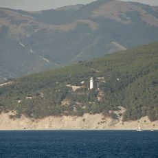
Mount Koldun rising above the village is the subject of local folklore about an ancient sorcerer said to have lived there. Paragliders use the slopes as launch points, and divers sometimes explore wrecks of sunken wartime ships and aircraft in the waters below.
The community of curious travelers
AroundUs brings together thousands of curated places, local tips, and hidden gems, enriched daily by 60,000 contributors worldwide.