
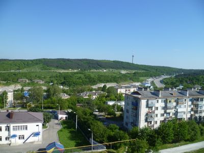
Verjnebakanski, human settlement in Municipal Formation of the City of Novorossiysk, Krasnodar Krai, Russia
Location: Municipal Formation of the City of Novorossiysk
Inception: 1862
Elevation above the sea: 249 m
Website: https://verhnebakansky.ucoz.ru/
Website: https://verhnebakansky.ucoz.ru
GPS coordinates: 44.84139,37.66194
Latest update: March 5, 2025 10:49
Abrau
16.7 km
Zakaznik Bolshoy Utrish
21.5 km
Gorgippia
28.4 km
Sukko Ozero
17.8 km
Russian Gates in Anapa
28.3 km
Sujuk-Qale
20.1 km
Anapa Fortress
28.3 km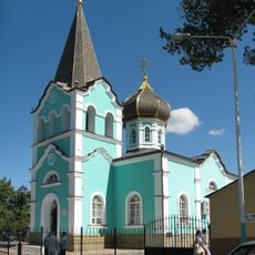
Saint Onuphrius church in Anapa
28.5 km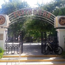
Gorgippia Museum
28.4 km
Հերոսների հրապարակ
16.2 km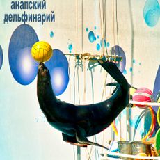
Utrish Dolphinarium
23.5 km
Sudzhukskaya Lagoon
21.1 km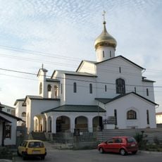
Saint Seraphim of Sarov Church in Anapa
26.8 km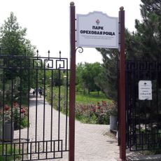
Park Orekhovaya Roshcha
27.8 km
Успенский собор (Новороссийск)
15.7 km
Anapskaya Cove
28.5 km
Utrish lighthouse
24.2 km
Sudzhuksky Lighthouse
23.4 km
Church of St. Gregory the Illuminator in Novorossiysk
14.8 km
Church of the Icon of the Mother of God Tenderness
27.4 km
St Sarkis church in Gajkodzor
17.8 km
Thermal Power Plant, Novorossiysk
17.2 km
Zapovednik Oetrisj
21.5 km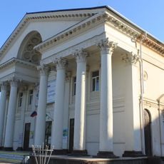
Kinoteatr Ukraina
15.6 km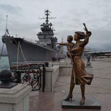
Памятник жене моряка
16.3 km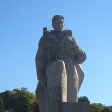
Հեղափոխության նավաստիներին
23.1 km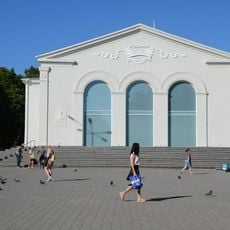
Cultural Centre Rodina
28.3 km
Letnaya Estrada
28.1 kmReviews
Visited this place? Tap the stars to rate it and share your experience / photos with the community! Try now! You can cancel it anytime.
Discover hidden gems everywhere you go!
From secret cafés to breathtaking viewpoints, skip the crowded tourist spots and find places that match your style. Our app makes it easy with voice search, smart filtering, route optimization, and insider tips from travelers worldwide. Download now for the complete mobile experience.

A unique approach to discovering new places❞
— Le Figaro
All the places worth exploring❞
— France Info
A tailor-made excursion in just a few clicks❞
— 20 Minutes