Chest opened
+${chestReward.xp} XP
Explorer
NOUVEAU ×${chestReward.collectible.quantity}
tapez pour fermer
Chest locked

Open chests in the app

Around Us is built for your phone — chests unlock when you walk, explore and capture nearby places.

Enable Location

We need your location to show you interesting places around you

Discover nearby places

Find interesting locations and hidden gems around you

Precise directions

Get accurate directions and distances to places

Your location is never shared with other users. It's only used when you tap the location button.

Vurnary

Log in to your account

Start exploring — it's free

Trusted by 72,956 travelers worldwide

Continue with Google
Continue with Apple
or

We will send you a code to connect

By continuing, you accept our Terms and Conditions and our Privacy Policy

Check your inbox

We've sent a pincode in your inbox. Please enter the code below.

Discussion Reviews 1 Photos
11.2k Popularity

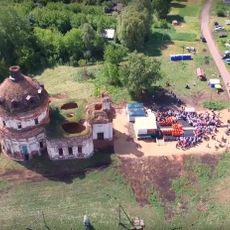
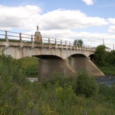
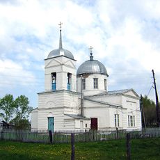
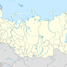
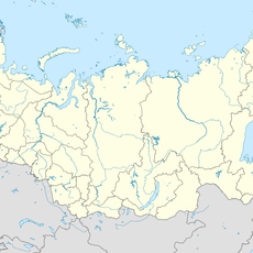
Vurnary, Urban settlement in Volga Federal District, Russia

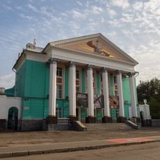
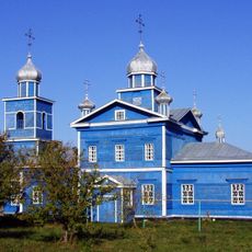
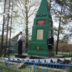
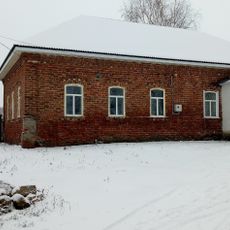
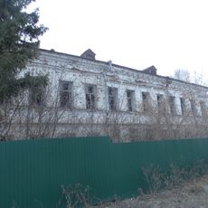
Vurnary is an urban-type settlement in Russia's Volga region, combining residential neighborhoods with industrial facilities. The locality has basic city services and infrastructure supporting both housing and commercial activity across its developed areas.

The settlement received its official designation in January 1918 during a period of major administrative reorganization following the Russian Revolution. This classification as an urban-type settlement established the administrative framework that continues to define the locality today.

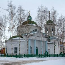
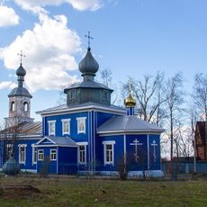
The settlement's name exists in multiple languages including Tatar, Ukrainian, and Chuvash, reflecting the diverse ethnic communities that have shaped the region. This linguistic variety shows how different cultural groups coexist in this part of central Russia.

The settlement has basic services and access typical of Russian urban-type localities in the region. Visitors will find everyday shops and facilities similar to other comparable communities in this part of the country.

The locality represents an example of the Soviet-era urban-type settlement classification system that continues to shape administrative structures today. This category emerged as a way to formally organize industrial centers that did not qualify as full cities.

The community of curious travelers

AroundUs brings together thousands of curated places, local tips, and hidden gems, enriched daily by 60,000 contributors worldwide.

Start exploring
Inception
1918
GPS coordinates
55.49056,46.96472
Latest update
December 8, 2025 13:42
Around this place
Monument to Vasily Chapayev in Cheboksary
Russian Federation

Monument to Vasily Chapayev in Cheboksary

71.9 km
Museum of Vasily Chapayev in Cheboksary
Russian Federation

Museum of Vasily Chapayev in Cheboksary

72 km
Tikhvinsky convent
Russian Federation

Tikhvinsky convent

53.6 km
Gagarin monument in Cheboksary
Russian Federation

Gagarin monument in Cheboksary

72.7 km
Cheboksary Botanic Garden
Russian Federation

Cheboksary Botanic Garden

68.8 km
Russian Federation

Шуршăлти А. Г. Николаев ячĕллĕ космонавтика музейĕ

69.6 km
Elkül lake
Russian Federation

Elkül lake

49.8 km
Russian Federation

Памятник Ивану Яковлеву (1970)

73.1 km
Beloye Lake
Russian Federation

Beloye Lake

60.9 km
Russian Drama Theater
Russian Federation

Russian Drama Theater

72.7 km
Sjutkul Lake
Russian Federation

Sjutkul Lake

50.4 km
Russian Federation

Andriyan Nikolaev haykali, 1987-yil

72.3 km
Peter and Paul Church, Poretskoye
Russian Federation

Peter and Paul Church, Poretskoye

51.9 km
Церковь Рождества Христова
Russian Federation

Церковь Рождества Христова

68.6 km
Category:Holy Trinity church (Zhdanovo)
Russian Federation

Category:Holy Trinity church (Zhdanovo)

69.6 km
Chardu hillside
Russian Federation

Chardu hillside

72.7 km
Çĕрпӳ кĕперĕ
Russian Federation

Çĕрпӳ кĕперĕ

53.5 km
Transfiguration church, Kudeikha
Russian Federation

Transfiguration church, Kudeikha

45.8 km
Храм Покрова Пресвятой Богородицы
Russian Federation

Храм Покрова Пресвятой Богородицы

22.1 km
Oak grove named after B.I.Guzovsky
Russian Federation

Oak grove named after B.I.Guzovsky

72.8 km
Шигали (Батыр районы)
Russian Federation

Шигали (Батыр районы)

58.8 km
Янгличи (Канашан кӀошт)
Russian Federation

Янгличи (Канашан кӀошт)

23.9 km
Первое Мая (Чуваши)
Russian Federation

Первое Мая (Чуваши)

61.3 km
Октябр (Янтіковський район)
Russian Federation

Октябр (Янтіковський район)

62.9 km
Бөек Ватан сугышы геройларына һәйкәл (Иске Чәчкаб)
Russian Federation

Бөек Ватан сугышы геройларына һәйкәл (Иске Чәчкаб)

72.8 km
Kumashka
Russian Federation

Kumashka

46.6 km
Медресе при первой Соборной мечети (Чутеево)
Russian Federation

Медресе при первой Соборной мечети (Чутеево)

55.6 km
Алпавыт А.Е. Лебедев йорты
Russian Federation

Алпавыт А.Е. Лебедев йорты

60.1 km
Show the full map
Reviews
Share your experience

No review yet

Discussions
Start a discussion...

No discussion yet

« Vurnary - Urban settlement in Volga Federal District, Russia » is provided by Around Us (aroundus.com). Images and texts are derived from Wikimedia project under a Creative Commons license. You are allowed to copy, distribute, and modify copies of this page, under the conditions set by the license, as long as this note is clearly visible.

Discover hidden gems everywhere you go!

From secret cafés to breathtaking viewpoints, skip the crowded tourist spots and find places that match your style. Our app makes it easy with voice search, smart filtering, route optimization, and insider tips from travelers worldwide. Download now for the complete mobile experience.

Around Us App Screenshot

A unique approach to discovering new places

Le Figaro

All the places worth exploring

France Info

A tailor-made excursion in just a few clicks

20 Minutes

Around Us
Travel Guide & Maps
Download

Send to your phone

QR Code
1

Open the camera app on your mobile.

2

Point at the QR code with your camera. A notification will appear.

3

Tap the notification to open the link.