Enable Location

We need your location to show you interesting places around you

Discover nearby places

Find interesting locations and hidden gems around you

Precise directions

Get accurate directions and distances to places

Your location is never shared with other users. It's only used when you tap the location button.

Belokammennoye Highway

Log in to your account

Start exploring — it's free

Trusted by 62,933 travelers worldwide

Continue with Google
Continue with Apple
or

We will send you a code to connect

By continuing, you accept our Terms and Conditions and our Privacy Policy

Check your inbox

We've sent a pincode in your inbox. Please enter the code below.

Belokammennoye Highway
Discussion Reviews 1 Photos
2.3k Popularity

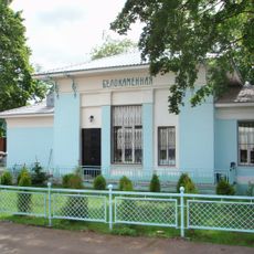
Belokammennoye Highway, Protected street in Bogorodskoye District, Russia.

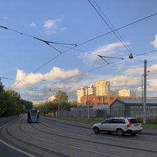
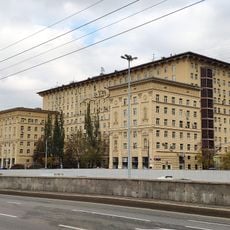
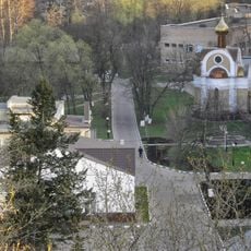
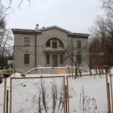
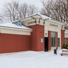
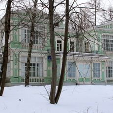
Belokammennoye Highway is a protected street running through Bogorodskoye District in eastern Moscow. It connects multiple neighborhoods and passes through both urban residential areas and patches of green space.

The road came into existence during Moscow's administrative reorganization in the eastern part of the capital. It became an important transportation link that helped structure how the district developed and connected to neighboring areas.

The name means White Stone Highway, referring to the soil and rock composition found beneath this area. This naming reflects how the landscape shaped the way locals think about and refer to the place.

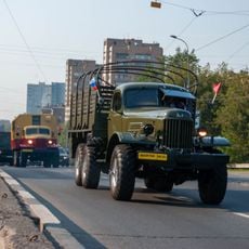
The road is straightforward to navigate and well-served by public transportation, making it simple to move through this part of the district. Visitors can walk along it or drive through to explore the different neighborhoods it connects.

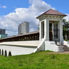
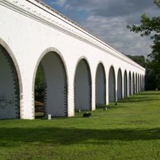
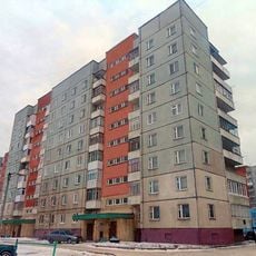
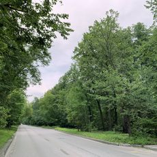
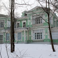
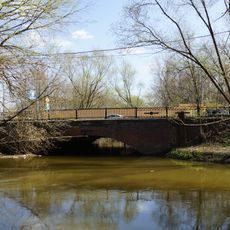
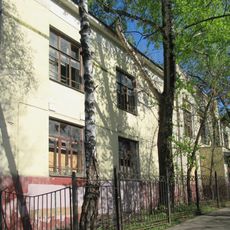
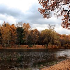
The road unexpectedly passes through areas where modern apartment blocks sit next to forests and protected natural zones. This mix of city and nature on such a busy highway is surprising for Moscow.

The community of curious travelers

AroundUs brings together thousands of curated places, local tips, and hidden gems, enriched daily by 60,000 contributors worldwide.

Start exploring
GPS coordinates
55.82445,37.69182
Latest update
December 13, 2025 11:40
Around this place
Rostokino Aqueduct
Russian Federation

Rostokino Aqueduct

2.3 km
Мытищинский-Московский водопровод
Russian Federation

Мытищинский-Московский водопровод

2.3 km
Spartakovets Stadium
Russian Federation

Spartakovets Stadium

2.1 km
111-108
Russian Federation

111-108

1.7 km
Church of the Transfiguration in Bogorodskoe
Russian Federation

Church of the Transfiguration in Bogorodskoe

1.1 km
Russian Federation

Monument to Konstantin Rokossovsky in Moscow

2.5 km
Лосиноостровская улица
Russian Federation

Лосиноостровская улица

2.1 km
Church of Saint Tikhon of Zadonsk in Sokolniki
Russian Federation

Church of Saint Tikhon of Zadonsk in Sokolniki

2.6 km
Ziegel estate
Russian Federation

Ziegel estate

1.6 km
Severyaninsky Bridge
Russian Federation

Severyaninsky Bridge

2.8 km
Дача Лямина
Russian Federation

Дача Лямина

1.4 km
Bogatyrskiy Bridge
Russian Federation

Bogatyrskiy Bridge

869 m
Dormitory of workers of a cotton factory in Rostokino
Russian Federation

Dormitory of workers of a cotton factory in Rostokino

2.6 km
Smirnov's dacha in Sokolniki
Russian Federation

Smirnov's dacha in Sokolniki

1.7 km
Oleniy Bridge
Russian Federation

Oleniy Bridge

2.1 km
Первый Белокаменный проезд
Russian Federation

Первый Белокаменный проезд

356 m
Улица Богатырский Мост
Russian Federation

Улица Богатырский Мост

913 m
Ростокинский путепровод
Russian Federation

Ростокинский путепровод

1.6 km
Prospekt Mira 184 k.1
Russian Federation

Prospekt Mira 184 k.1

2.6 km
Улица Олений Вал 24Б
Russian Federation

Улица Олений Вал 24Б

2.8 km
Парк центральной клинической больницы им. Н.А. Семашко (Ростокино)
Russian Federation

Парк центральной клинической больницы им. Н.А. Семашко (Ростокино)

1.7 km
5-й Лучевой просек 14 c1, Главный дом
Russian Federation

5-й Лучевой просек 14 c1, Главный дом

1.6 km
Вокзал Белокаменная
Russian Federation

Вокзал Белокаменная

803 m
6-й Лучевой просек 21 c11, Главный дом
Russian Federation

6-й Лучевой просек 21 c11, Главный дом

1.5 km
Яузская аллея 17
Russian Federation

Яузская аллея 17

752 m
Ограда перрона станции Белокаменная
Russian Federation

Ограда перрона станции Белокаменная

815 m
Rostokino station casern
Russian Federation

Rostokino station casern

2.8 km
Oleniy Ponds
Russian Federation

Oleniy Ponds

2.6 km
Show the full map
Reviews
Share your experience

No review yet

Discussions
Start a discussion...

No discussion yet

« Belokammennoye Highway - Protected street in Bogorodskoye District, Russia » is provided by Around Us (aroundus.com). Images and texts are derived from Wikimedia project under a Creative Commons license. You are allowed to copy, distribute, and modify copies of this page, under the conditions set by the license, as long as this note is clearly visible.

Discover hidden gems everywhere you go!

From secret cafés to breathtaking viewpoints, skip the crowded tourist spots and find places that match your style. Our app makes it easy with voice search, smart filtering, route optimization, and insider tips from travelers worldwide. Download now for the complete mobile experience.

Around Us App Screenshot

A unique approach to discovering new places

Le Figaro

All the places worth exploring

France Info

A tailor-made excursion in just a few clicks

20 Minutes

Around Us
Travel Guide & Maps
Download

Send to your phone

QR Code
1

Open the camera app on your mobile.

2

Point at the QR code with your camera. A notification will appear.

3

Tap the notification to open the link.