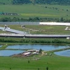
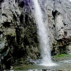
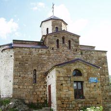
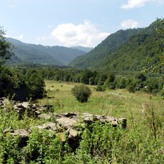
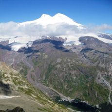
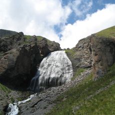
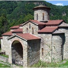
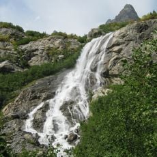
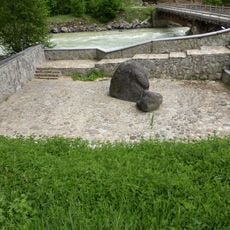
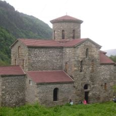
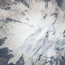
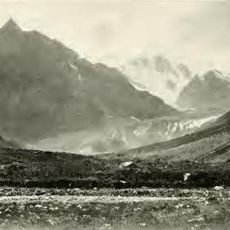
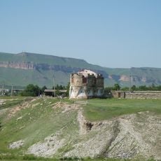
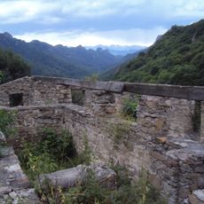
Kart-Dzhurtskoye rural settlement, human settlement in Karachayevsky District, Karachay-Cherkess Republic, Russia
The community of curious travelers
AroundUs brings together thousands of curated places, local tips, and hidden gems, enriched daily by 60,000 contributors worldwide.
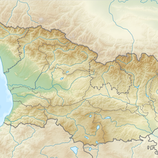
Location
Capital city
Kart-Dzhurt
GPS coordinates
43.50897,42.11480
Latest update
March 3, 2025 20:10