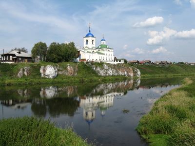
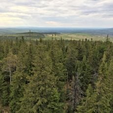
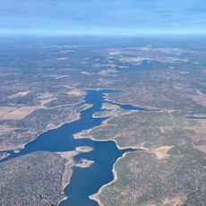
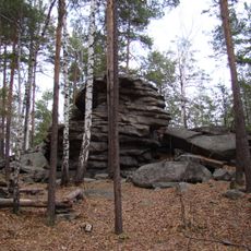
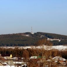
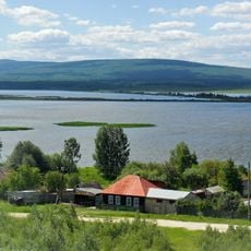
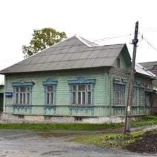
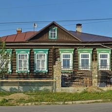
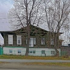
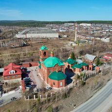
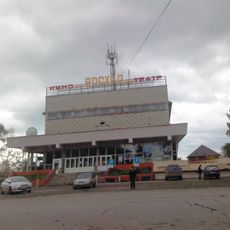
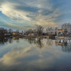
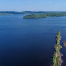
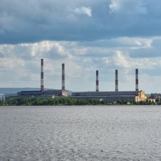
Sloboda, human settlement in Pervouralsk Urban Okrug, Sverdlovsk Oblast, Russia
Location: Pervouralsk Urban Okrug
Inception: 1651
Elevation above the sea: 255 m
GPS coordinates: 57.02634,59.55365
Latest update: March 12, 2025 02:05
Visimskiy State Natural Biosphere Reserve
41.7 km
Didinsky Tunnel
24.7 km
Volchikhinskoye Vodokhranilishche
42.5 km
Seven Brothers and One Sister Rocks
47.3 km
Peschanoye Lake
48.6 km
Chertovo Gorodishe mountain
49 km
Innovative Cultural Center in Pervouralsk
26 km
Petrogrom
47.7 km
Visyachy Kamen
35.7 km
Kourovskaya observatory
1.2 km
Chusovaya River Nature Park
28.6 km
Սուրբ Երրորդության եկեղեցի
32.8 km
Monument on the border of Europe and Asia in Pervouralsk
34.7 km
New Marinsk Reservoir
42 km
Severka rock paintings
50.1 km
Пильная гора
30.5 km
Rudyansky Pond
46.7 km
Church of the Holy Trinity (Bilimbay)
17.4 km
Cave Lednik
21 km
Vogulka Reservoir
44.3 km
Museum Bilimbay
17.5 km
Дом фельдшера Машанова
44.1 km
Дом Яргина
43.9 km
Петропавловская церковь
25.9 km
Kinoteatr Voskhod
27.8 km
Bilimbayevskiy Prud
18 km
Upper Neyva Pond
42.3 km
Upper Tagil Reservoir
46.3 kmReviews
Visited this place? Tap the stars to rate it and share your experience / photos with the community! Try now! You can cancel it anytime.
Discover hidden gems everywhere you go!
From secret cafés to breathtaking viewpoints, skip the crowded tourist spots and find places that match your style. Our app makes it easy with voice search, smart filtering, route optimization, and insider tips from travelers worldwide. Download now for the complete mobile experience.
A unique approach to discovering new places❞
— Le Figaro
All the places worth exploring❞
— France Info
A tailor-made excursion in just a few clicks❞
— 20 Minutes