
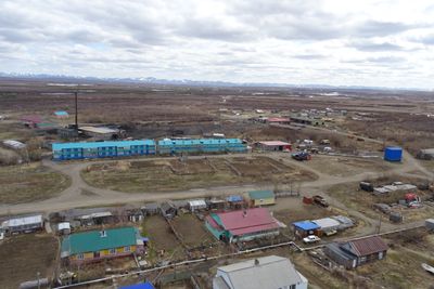
Slautnoje, human settlement in Penzhinsky District, Koryak Okrug, Russia
Location: Село Слаутное
Inception: 1932
GPS coordinates: 63.17083,167.97361
Latest update: March 14, 2025 02:58
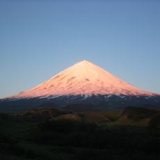
Klyuchevskaya Sopka
891.9 km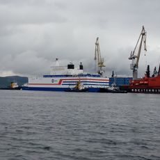
Akademik Lomonosov
735.2 km
Pleistocene Park
662.5 km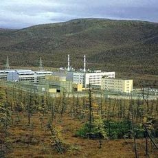
Bilibino Nuclear Power Plant
547.2 km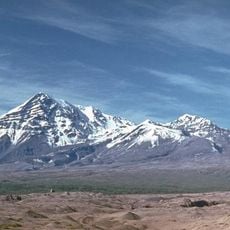
Shiveluch
812.9 km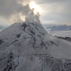
Bezymianny Volcano
901.5 km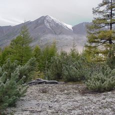
Kolyma Mountains
646.8 km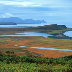
Koryak Nature Reserve
386.1 km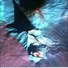
Kamen
896.9 km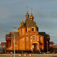
Trinity Cathedral (Anadyr)
497.6 km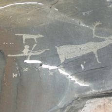
Pegtymel Petroglyphs
768.8 km
Khatyrka meteorite
335.7 km
Ushkovsky
894.9 km
Routan Islands
738.5 km
Klyuchevskoy nature park
859.4 km
Lake Bolshoye Morskoye
867.3 km
Dvuhyurtochnoe Lake
832.4 km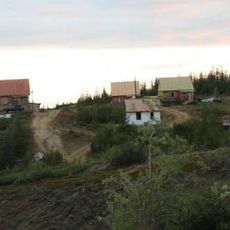
Northeast Science Station
687 km
Kebeney
781.9 km
Калгнитунуп
814 km
Terpuk
801.6 km
Taygonos
479.6 km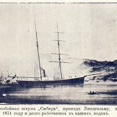
Sibir
316.7 km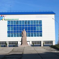
Дворец Пионеров (Анадырь)
497.6 km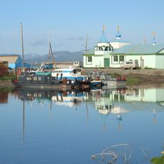
Историко-этнографический памятник «Коса Святого Александра» (Анадырь)
498 km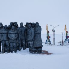
Мемориальный комплекс «Памятник первым Ревкомовцам» (Анадырь)
497.3 km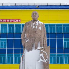
Памятник В. И. Ленину (Анадырь)
497.6 km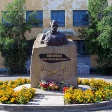
Памятник-бюст геологу Ю.А. Билибину (Билибино)
548.1 kmReviews
Visited this place? Tap the stars to rate it and share your experience / photos with the community! Try now! You can cancel it anytime.
Discover hidden gems everywhere you go!
From secret cafés to breathtaking viewpoints, skip the crowded tourist spots and find places that match your style. Our app makes it easy with voice search, smart filtering, route optimization, and insider tips from travelers worldwide. Download now for the complete mobile experience.

A unique approach to discovering new places❞
— Le Figaro
All the places worth exploring❞
— France Info
A tailor-made excursion in just a few clicks❞
— 20 Minutes