
Uchkulanskoye rural settlement, human settlement in Karachayevsky District, Karachay-Cherkess Republic, Russia
Location: Karachayevsky District
Capital city: Uchkulan
GPS coordinates: 43.45416,42.08768
Latest update: April 1, 2025 06:52
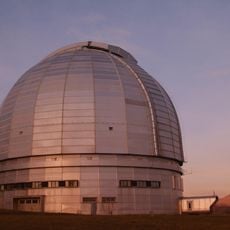
BTA-6
56.5 km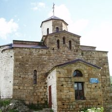
Shoana Church
42.1 km
Kukurtlu
27.8 km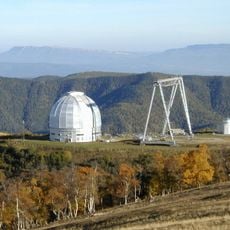
Special Astrophysical Observatory of the Russian Academy of Science
56.5 km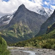
Dombai-Ulgen
37.5 km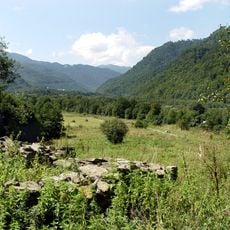
Nizhny Arkhyz archaeological site
55.6 km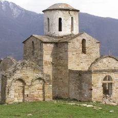
Senty Church
27.1 km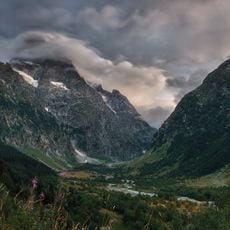
Teberda National Park
56 km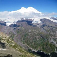
Prielbrusye National Park
39.9 km
Mount Terskol Observatory
38.9 km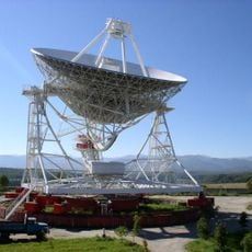
Zelenchukskaya RT-32
56.2 km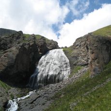
Devichyi Kosy
38.4 km
Kislovodsk Mountain Astronomical Station
47.9 km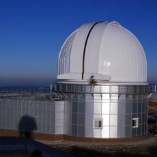
KGO Observatory
56.9 km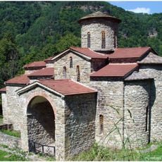
North Church
55.2 km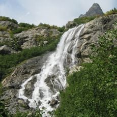
Alibeksky Waterfall
46.4 km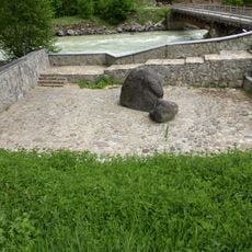
Kamen Karchi
16.4 km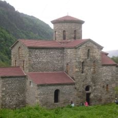
Central Zelenchuksky Church
55.6 km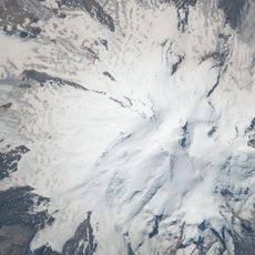
Kalitsky Peak
37.5 km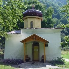
South Zelenchuksky Church
55.6 km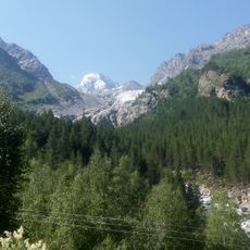
Bzhedukh
57.6 km
Ushba Glacier
56.8 km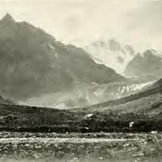
Dolra
47.4 km
Shtavleri Glacier
40.1 km
Mqinvari Adeba
46.9 km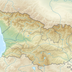
Mqinvari Begina
33.3 km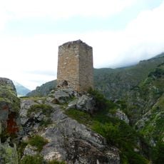
Mamiya-Kala Tower, Khurzuk
3.8 km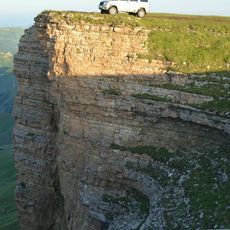
Bolshoy Bermamyt
39.9 kmReviews
Visited this place? Tap the stars to rate it and share your experience / photos with the community! Try now! You can cancel it anytime.
Discover hidden gems everywhere you go!
From secret cafés to breathtaking viewpoints, skip the crowded tourist spots and find places that match your style. Our app makes it easy with voice search, smart filtering, route optimization, and insider tips from travelers worldwide. Download now for the complete mobile experience.

A unique approach to discovering new places❞
— Le Figaro
All the places worth exploring❞
— France Info
A tailor-made excursion in just a few clicks❞
— 20 Minutes