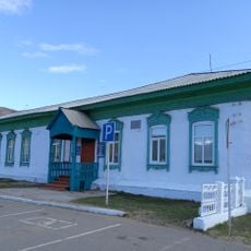
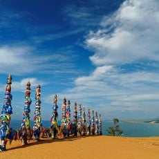
Severobaykalsk Urban Okrug

Log in to your account

AroundUs is a community-driven map of interesting places, built by curious explorers like you. It grows with every review, story, and photo you share.
Connect to save your favorite spots, contribute locations, and create personalized routes.
By continuing, you accept our Terms and Conditions and our Privacy Policy
Add to collection
Map
Suggest a change
Share

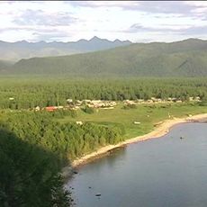
Severobaykalsk Urban Okrug, human settlement in Russia

Location: Buryatia

Capital city: Severobaykalsk

GPS coordinates: 55.63333,109.31667

Latest update: May 13, 2025 12:28
Around this place
Show the full map
Lake Baikal
Russian Federation

Lake Baikal

273 km
Barguzin Nature Reserve
Russian Federation

Barguzin Nature Reserve

159.8 km
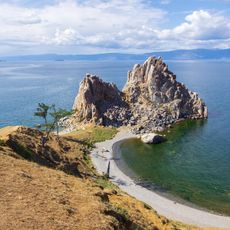
Shamanka Rock
Russian Federation

Shamanka Rock

299.2 km
Baikal-Lena nature reserve
Russian Federation

Baikal-Lena nature reserve

181.2 km
Devil's Bridge
Russian Federation

Devil's Bridge

261.8 km
Zabaykalsky
Russian Federation

Zabaykalsky

213.5 km
Sviatoy Nos
Russian Federation

Sviatoy Nos

221.1 km
Chivyrkuyskiy Zaliv
Russian Federation

Chivyrkuyskiy Zaliv

213.6 km
Barguzin Range
Russian Federation

Barguzin Range

124.7 km
Dzherginsky Nature Reserve
Russian Federation

Dzherginsky Nature Reserve

147.3 km
Barguzinsky Bay
Russian Federation

Barguzinsky Bay

245.8 km
Troitsky monastery
Russian Federation

Troitsky monastery

249.3 km
Arangatuy
Russian Federation

Arangatuy

229.6 km
Frolikha Adventure Coastline Track
Russian Federation

Frolikha Adventure Coastline Track

43.8 km
Hanhoi
Russian Federation

Hanhoi

309.2 km
Кулиные болота
Russian Federation

Кулиные болота

225.6 km
Svetlaya Polyana
Russian Federation

Svetlaya Polyana

265.4 km
Воскресенский собор (Верхоленск)
Russian Federation

Воскресенский собор (Верхоленск)

294.9 km
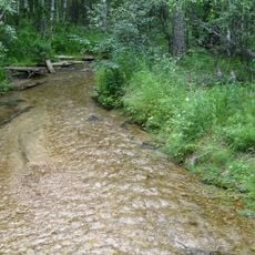
Burtuy
Russian Federation

Burtuy

222.2 km
Спасо-Преображенская церковь (Баргузин)
Russian Federation

Спасо-Преображенская церковь (Баргузин)

225.8 km
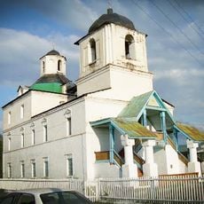
Nativity of Christ Church
Russian Federation

Nativity of Christ Church

239.2 km
Дом Бутлицкого (Баргузин)
Russian Federation

Дом Бутлицкого (Баргузин)

225.9 km
Ice cave on Olkhon island
Russian Federation

Ice cave on Olkhon island

291.3 km
Здание банка (Баргузин)
Russian Federation

Здание банка (Баргузин)

225.9 km
Торговое здание купца Лозовского (Баргузин)
Russian Federation

Торговое здание купца Лозовского (Баргузин)

225.6 km
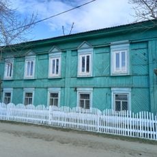
Дом, в котором жил в ссылке большевик К. Грабовский (Баргузин)
Russian Federation

Дом, в котором жил в ссылке большевик К. Грабовский (Баргузин)

225.9 km
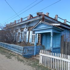
Дом Сиротина (Баргузин)
Russian Federation

Дом Сиротина (Баргузин)

225.8 km
Cape Burkhan
Russian Federation

Cape Burkhan

299.2 km
Show the full map

Reviews

Visited this place? Tap the stars to rate it and share your experience / photos with the community! Try now! You can cancel it anytime.

« Severobaykalsk Urban Okrug - human settlement in Russia » is provided by Around Us (aroundus.com). Images and texts are derived from Wikimedia project under a Creative Commons license. You are allowed to copy, distribute, and modify copies of this page, under the conditions set by the license, as long as this note is clearly visible.

Discover hidden gems everywhere you go!

From secret cafés to breathtaking viewpoints, skip the crowded tourist spots and find places that match your style. Our app makes it easy with voice search, smart filtering, route optimization, and insider tips from travelers worldwide. Download now for the complete mobile experience.

Around Us App Screenshot

A unique approach to discovering new places

Le Figaro

All the places worth exploring

France Info

A tailor-made excursion in just a few clicks

20 Minutes