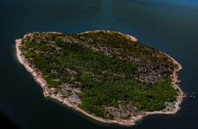
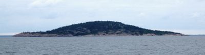
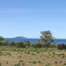
Blå Jungfrun, Granite inselberg national park in Oskarshamn Municipality, Sweden.
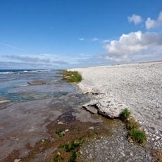
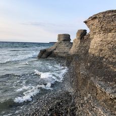
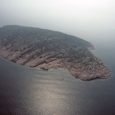
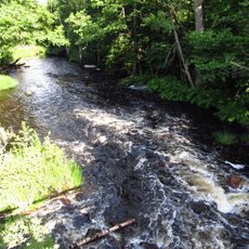
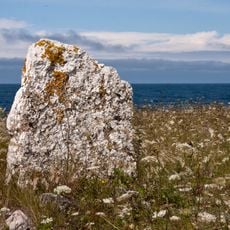
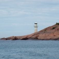
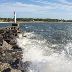
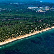
Blå Jungfrun is an 86-meter-high granite island in the Baltic Sea featuring steep cliffs and dense hardwood forests. The landscape displays clear marks from the ice age with various rock formations and multiple caves containing large interior chambers.
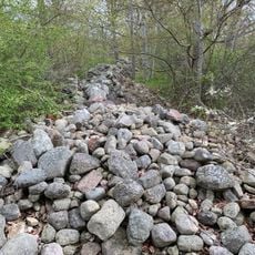
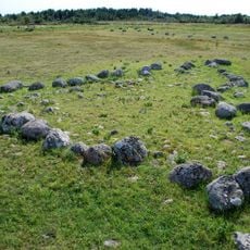
The stone labyrinth on the eastern side dates from centuries past and was documented by botanist Carl von Linné during his 1741 visit. This early scientific exploration helped establish the geological and archaeological importance of the island.
The name comes from old stories about witches gathering on Maundy Thursday, a tale that remains part of Swedish folklore and regional identity. Visitors today can observe the stone labyrinth on the eastern side, which connects the place to these enduring legends.
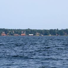
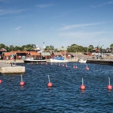
The island is only accessible during summer months via boat services from Oskarshamn or Byxelkrok, with visits limited to daytime only. There are no overnight facilities, so visitors should plan their return trip around the boat schedule.
Several caves with narrow entrances open into surprisingly large interior chambers, formed through natural erosion of granite dating back 570 million years. This geological rarity makes the island a place where visitors can directly experience the deep history of Earth's development.
The community of curious travelers
AroundUs brings together thousands of curated places, local tips, and hidden gems, enriched daily by 60,000 contributors worldwide.