Enable Location

We need your location to show you interesting places around you

Discover nearby places

Find interesting locations and hidden gems around you

Precise directions

Get accurate directions and distances to places

Your location is never shared with other users. It's only used when you tap the location button.

Kolmården

Log in to your account

Start exploring — it's free

Trusted by 68,029 travelers worldwide

Continue with Google
Continue with Apple
or

We will send you a code to connect

By continuing, you accept our Terms and Conditions and our Privacy Policy

Check your inbox

We've sent a pincode in your inbox. Please enter the code below.

Kolmården
Discussion Reviews 1 Photos
15.1k Popularity

Kolmården, Forest ridge between Södermanland and Östergötland, Sweden

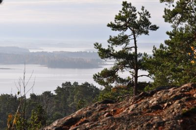
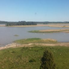
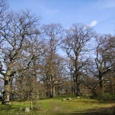
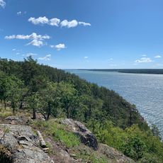
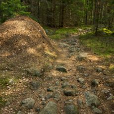
Kolmården is a dense forest ridge with rocky outcrops and mixed woodland that runs across several Swedish municipalities as a natural hill formation. The landscape is crossed by three major transport routes: two railways and a main highway that divide the forested terrain.

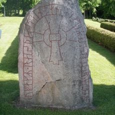
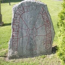
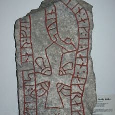
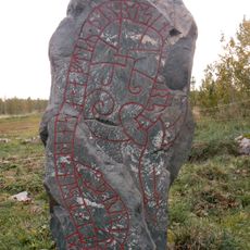
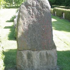
In medieval times, this forest ridge formed the natural boundary separating the territories of the Swear and the Geats, two early peoples of the Scandinavian peninsula. The geography made it a key dividing line between two distinct power regions.

The forest marked a cultural boundary between two historical regions for centuries, and this division left traces in local names and traditions of the surrounding communities. People in the area still recognize its role as the natural dividing line that shaped how settlements developed on either side.

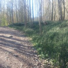
The forest is best explored on foot or by bicycle, with paths offering varying degrees of wildness depending on your route. Access is straightforward from nearby towns, with parking areas and train stations conveniently positioned around the edges.

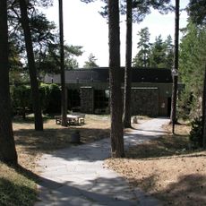
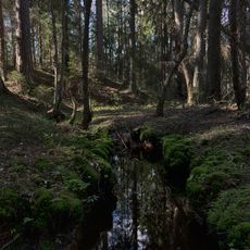
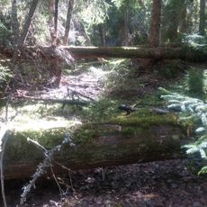
Fjällmossens is a protected nature reserve within the forest, containing moors covered with pine trees that have grown there for over 300 years. These ancient forests on wet soils are increasingly scarce, making the reserve a living record of how the land once looked across wider regions.

The community of curious travelers

AroundUs brings together thousands of curated places, local tips, and hidden gems, enriched daily by 60,000 contributors worldwide.

Start exploring
GPS coordinates
58.66530,16.46640
Latest update
December 7, 2025 19:31
Reviews
Share your experience

No review yet

Discussions
Start a discussion...

No discussion yet

« Kolmården - Forest ridge between Södermanland and Östergötland, Sweden » is provided by Around Us (aroundus.com). Images and texts are derived from Wikimedia project under a Creative Commons license. You are allowed to copy, distribute, and modify copies of this page, under the conditions set by the license, as long as this note is clearly visible.

Discover hidden gems everywhere you go!

From secret cafés to breathtaking viewpoints, skip the crowded tourist spots and find places that match your style. Our app makes it easy with voice search, smart filtering, route optimization, and insider tips from travelers worldwide. Download now for the complete mobile experience.

Around Us App Screenshot

A unique approach to discovering new places

Le Figaro

All the places worth exploring

France Info

A tailor-made excursion in just a few clicks

20 Minutes

Around Us
Travel Guide & Maps
Download

Send to your phone

QR Code
1

Open the camera app on your mobile.

2

Point at the QR code with your camera. A notification will appear.

3

Tap the notification to open the link.