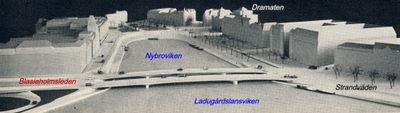
Blasieholmsleden, Road stretch in Blasieholmen peninsula, Stockholm, Sweden
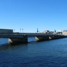
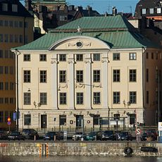
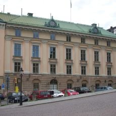
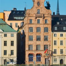
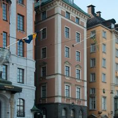
Blasieholmsleden is a road on the Blasieholmen peninsula in Stockholm that connects the area to neighboring urban districts along the waterfront. The route passes museums and buildings as it links the peninsula to other parts of the city.
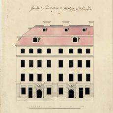
The road developed in the 17th century when the Blasieholmen peninsula was connected to the mainland through land reclamation work. This change shaped Stockholm's urban growth and made the peninsula part of the city center.
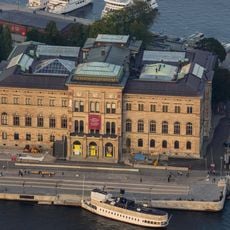
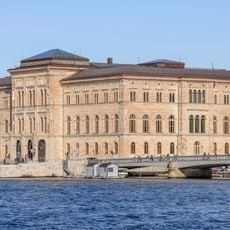
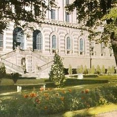
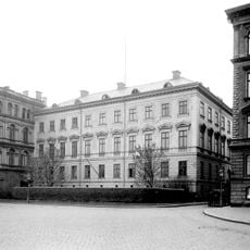
The Nationalmuseum sits along this route and displays artworks from Sweden and other countries across different periods. Visitors passing by can see the building's role as a gathering place for people interested in art and culture.
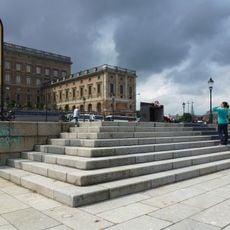
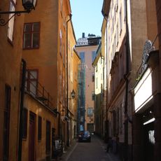
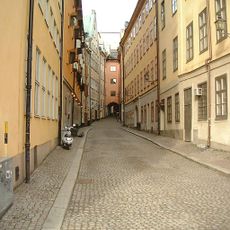
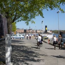
The route is easy to explore on foot or by bicycle as it is flat and simple to reach from the old city center. Visitors should plan time to explore the area, especially if they want to visit the nearby museums.
The road sits on the site of a former island called Kaepplingen that merged with the mainland through land reclamation. This transformation is visible in the different water channels that still run through the area.
The community of curious travelers
AroundUs brings together thousands of curated places, local tips, and hidden gems, enriched daily by 60,000 contributors worldwide.