
Kungliga posthuset, building in Stockholm Municipality, Stockholm County, Sweden
Location: Stockholm Municipality
Inception: 1825
Architects: Fredrik Blom
GPS coordinates: 59.32405,18.06802
Latest update: September 27, 2025 15:22
Västerlånggatan 31
132 m
Petersenska huset
66 m
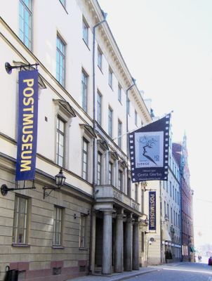
Postmuseum
4 m
Mälartorget
114 m
Stora Nygatan
67 m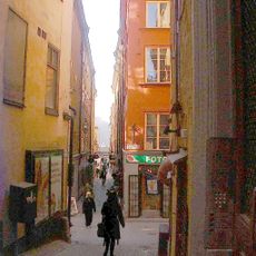
Kåkbrinken
46 m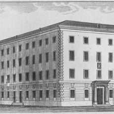
Schönfeldtska huset
71 m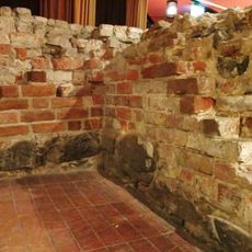
Lejontornet
47 m
Gåsgränd
70 m
Gåstorget
116 m
Yxsmedsgränd
68 m
Göran Hälsinges gränd
129 m
Didrik Ficks gränd
103 m
Bedoirsgränd
67 m
Milon 11
106 m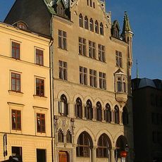
Munkbron 9
82 m
Hebbes bro
118 m
Sven Vintappares gränd
107 m
Ignatiigränd
127 m
Munkbron 17
45 m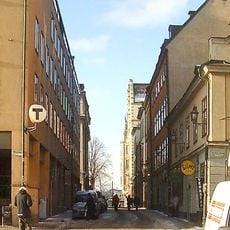
Munkbrogatan
37 m
Riddarholmsbroarna
100 m
Schönfeldts gränd
64 m
Vera Siöcronas torg
102 m
Överskärargränd
101 m
Skräddargränd
101 m
Hansa
85 m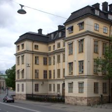
Piperska palatset
43 mVisited this place? Tap the stars to rate it and share your experience / photos with the community! Try now! You can cancel it anytime.
Discover hidden gems everywhere you go!
From secret cafés to breathtaking viewpoints, skip the crowded tourist spots and find places that match your style. Our app makes it easy with voice search, smart filtering, route optimization, and insider tips from travelers worldwide. Download now for the complete mobile experience.

A unique approach to discovering new places❞
— Le Figaro
All the places worth exploring❞
— France Info
A tailor-made excursion in just a few clicks❞
— 20 Minutes