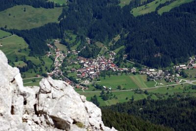
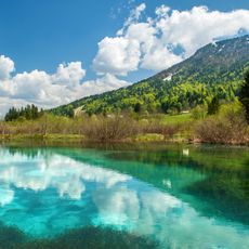
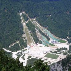
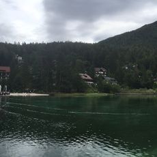
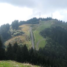
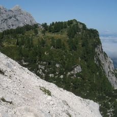
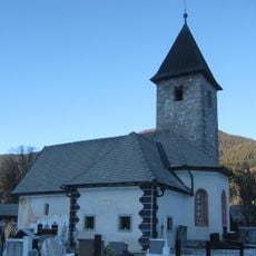
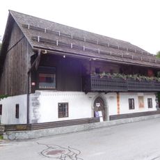
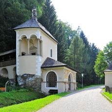
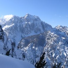
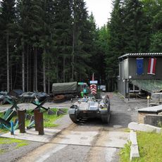
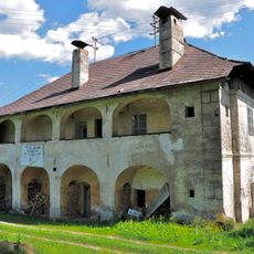
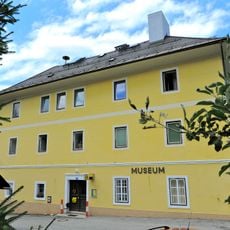
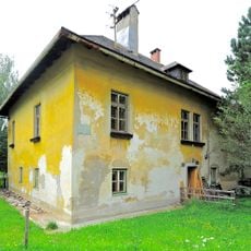
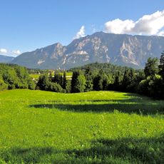
Rateče, human settlement
Location: Municipality of Kranjska Gora
Elevation above the sea: 863 m
Shares border with: Fusine in Valromana
GPS coordinates: 46.49639,13.71306
Latest update: March 29, 2025 16:45
Zelenci
2 km
Planica Nordic Center
2.3 km
Lake Jasna
5.9 km
Peč
3 km
Arnoldstein Abbey
5.8 km
Schrotturm Arnoldstein
6 km
Weissenfels Castle
5.3 km
Slemenova špica
5.7 km
St. Thomas's Church, Rateče
119 m
Liznjek Farm
5.9 km
Kreuzkapelle Arnoldstein
5.7 km
Visoka Ponca
4.2 km
Evangelische Pfarrkirche Arnoldstein
5.5 km
Chiesa di San Leonardo
4.9 km
Evangelische Auferstehungskirche in Arnoldstein
5.9 km
Holy Spirit Church
393 m
Filialkirche Seltschach
4.9 km
Evangelischer Friedhof mit Kapelle
5.5 km
Friedhof mit drei Kapellen
5.9 km
Pfarrkirche Sankt Lambert
5.8 km
Wegkapelle Maria Hilf, Krainberg
5.2 km
Bunkermuseum Wurzenpass
5.1 km
Gailitzbrücke
6.2 km
Anlage Sperrstellung Wurzenpass
5 km
Ehem. Gewerkenhaus Wrolch
6.2 km
Heimatmuseum Arnoldstein
5.9 km
Ehem. Forsthaus
5.9 km
Spätantike Höhensiedlung Hoischhügel
6.2 kmReviews
Visited this place? Tap the stars to rate it and share your experience / photos with the community! Try now! You can cancel it anytime.
Discover hidden gems everywhere you go!
From secret cafés to breathtaking viewpoints, skip the crowded tourist spots and find places that match your style. Our app makes it easy with voice search, smart filtering, route optimization, and insider tips from travelers worldwide. Download now for the complete mobile experience.
A unique approach to discovering new places❞
— Le Figaro
All the places worth exploring❞
— France Info
A tailor-made excursion in just a few clicks❞
— 20 Minutes