Strunjan Natural Park, Protected coastal area in southwestern Slovenia
Strunjan Natural Park covers most of the Strunjan peninsula, a flysch landscape with cultural terraces, salt pans and seven farmsteads. Its northern shore rises into flysch cliffs up to 80 m high, the highest on the Adriatic, with a 200 m belt of sea. The Stjuža lagoon, separated from the sea by a dike over 200 years ago, lies at the mouth of the Strunjan stream.
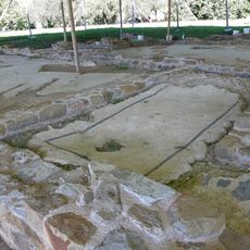
The Strunjan salt pans lie at the end of Strunjan Bay and are the northernmost salt-working site on the Adriatic. The landscape park itself was declared in 1990, protecting the peninsula's flysch terraces, the Stjuža lagoon and the salt pans as a single unit. The salt pans are listed among the park's ethnological and technical monuments.
The name Stjuža comes from the Italian word chiusa, meaning closed, after a dike was built between the bay and the sea more than 200 years ago. Fish were once farmed in the lagoon, but this was abandoned in the 1930s. Local fishermen still catch the 5 cm mud shrimp, škardobola, in the lagoon's burrows to use as bait.
The park is easy to reach and offers several walking trails with viewpoints overlooking the cliffs. Visitors should bring sturdy footwear and sun protection, as many paths cross open terrain without shade.
The lagoon's name comes from the Italian chiusa, meaning closed: a dike built more than 200 years ago cut it off from the open sea, leaving only a channel. In its muddy bottom burrows lives a shrimp up to 5 cm long, the škardobola (Upogebia pusilla), which fishermen dig out as bait for white fish.
The community of curious travelers
AroundUs brings together thousands of curated places, local tips, and hidden gems, enriched daily by 93,555 contributors worldwide.