
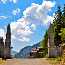
Grajsko slopno znamenje, Tržič, znamenje v Občini Tržič
Location: Municipality of Tržič
GPS coordinates: 46.36527,14.31077
Latest update: June 25, 2025 06:41
Loibl Pass
8.4 km
Loiblpass concentration camp
7.9 km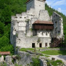
Kamen Castle
7.4 km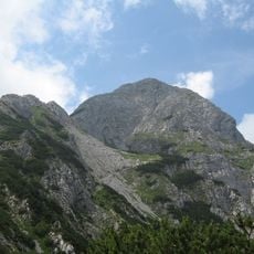
Storžič
7.4 km
Udin Woods
7.5 km
Planina Prevala
7.2 km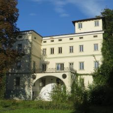
Podvin Castle
8.4 km
Košutica / Loibler Baba
8.3 km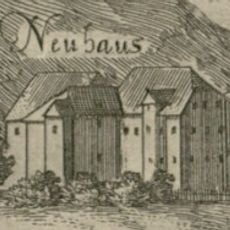
Neuhaus Castle
96 m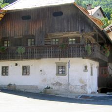
Kurnik House
204 m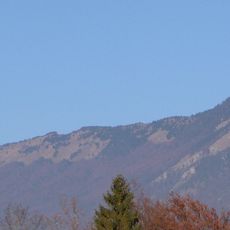
Fat Peak
4.4 km
Dom pod Storžičem
6.1 km
Our Lady of the Annunciation Parish Church
244 m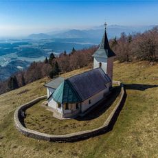
St. Lawrence's Church
7.6 km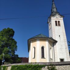
Cerkev sv. Jerneja, Senično
3.8 km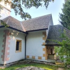
St. John the Baptist's Church
8 km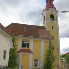
St. Ulrich's Parish Church
8.5 km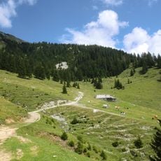
Planini Šija and Ilovica
7.3 km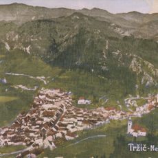
St. Joseph's Church
491 m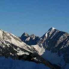
Kladivo / Hainschturm
8.4 km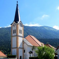
Holy Cross Parish Church
3 km
Planina Ilovica
6.7 km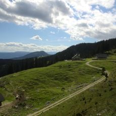
Planina Šija
7.3 km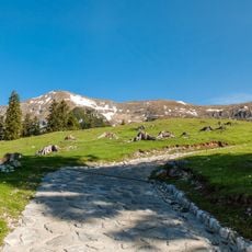
Planina Kofce
5.9 km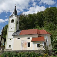
St. Michael's Church
6.4 km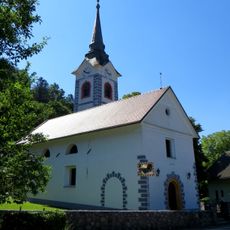
Cerkev sv. Urha, Žiganja vas
4.8 km
Cerkev sv. Nikolaja, Gozd
3.3 km
St. Anne's Church
8.3 kmReviews
Visited this place? Tap the stars to rate it and share your experience / photos with the community! Try now! You can cancel it anytime.
Discover hidden gems everywhere you go!
From secret cafés to breathtaking viewpoints, skip the crowded tourist spots and find places that match your style. Our app makes it easy with voice search, smart filtering, route optimization, and insider tips from travelers worldwide. Download now for the complete mobile experience.

A unique approach to discovering new places❞
— Le Figaro
All the places worth exploring❞
— France Info
A tailor-made excursion in just a few clicks❞
— 20 Minutes