Enable Location

We need your location to show you interesting places around you

Discover nearby places

Find interesting locations and hidden gems around you

Precise directions

Get accurate directions and distances to places

Your location is never shared with other users. It's only used when you tap the location button.

Trenčín

Log in to your account

Start exploring — it's free

Trusted by 62,098 travelers worldwide

Continue with Google
Continue with Apple
or

We will send you a code to connect

By continuing, you accept our Terms and Conditions and our Privacy Policy

Check your inbox

We've sent a pincode in your inbox. Please enter the code below.

Trenčín, Administrative center and castle town in western Slovakia.

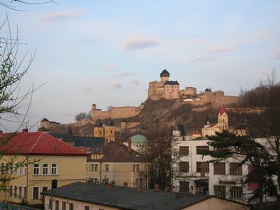
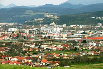
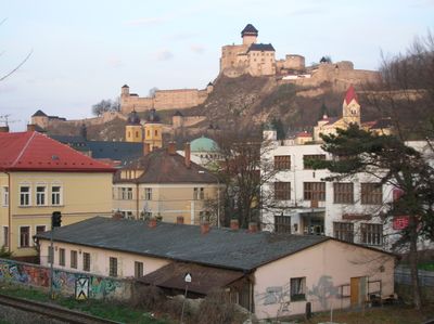
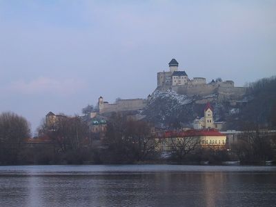
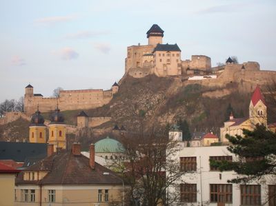
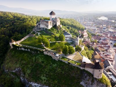
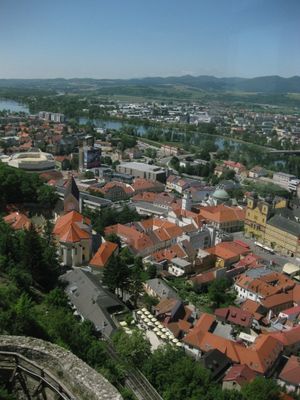
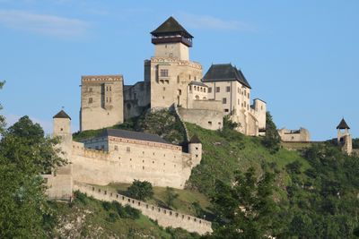
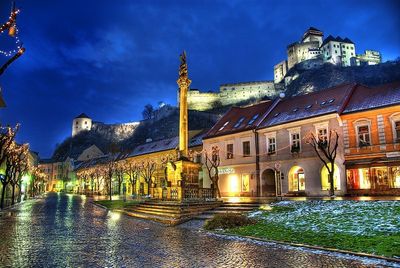
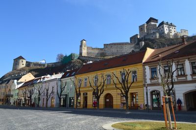
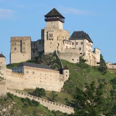
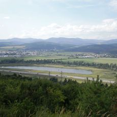
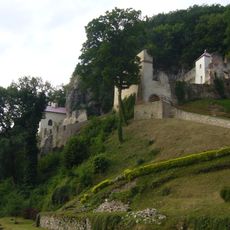
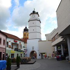
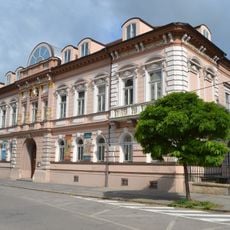
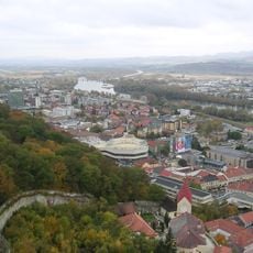
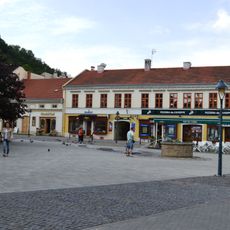
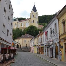
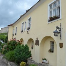
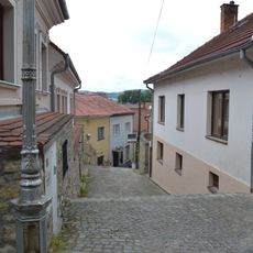
Trenčín extends along the Vah River valley, with its medieval castle positioned on limestone cliffs that form a natural fortress above residential areas. The city combines historic architecture with modern neighborhoods and features a dense network of streets and public squares.

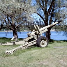
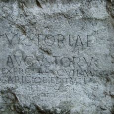
The city was shaped during the Roman occupation, as evidenced by an inscription from 179 AD carved on the castle rock. This monument documents the presence of Legion II Adiutrix during their campaigns in the region.

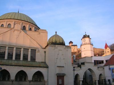
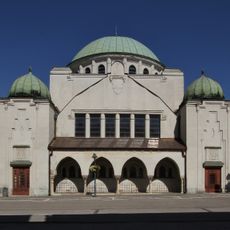
The Trenčín Synagogue, built in 1913, now serves as a cultural center hosting regular art exhibitions, performances, and musical events throughout the year.

The central train station connects Trenčín with Bratislava and Žilina through regular services, while the E75 highway provides direct access to the city center. The old town is easily walkable with clear paths leading to the castle.

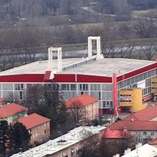
The Pohoda Festival at Trenčín Airport is Slovakia's largest music event, drawing thousands of visitors from across Europe each summer. The festival has grown into a significant gathering in the European music scene since its inception.

The community of curious travelers

AroundUs brings together thousands of curated places, local tips, and hidden gems, enriched daily by 60,000 contributors worldwide.

Start exploring
Elevation above the sea
217 m
Reference
505820
Shares border with
Zamarovce, Hrabovka
GPS coordinates
48.89227,18.03875
Latest update
December 14, 2025 20:02
« Trenčín - Administrative center and castle town in western Slovakia » is provided by Around Us (aroundus.com). Images and texts are derived from Wikimedia project under a Creative Commons license. You are allowed to copy, distribute, and modify copies of this page, under the conditions set by the license, as long as this note is clearly visible.

Discover hidden gems everywhere you go!

From secret cafés to breathtaking viewpoints, skip the crowded tourist spots and find places that match your style. Our app makes it easy with voice search, smart filtering, route optimization, and insider tips from travelers worldwide. Download now for the complete mobile experience.

Around Us App Screenshot

A unique approach to discovering new places

Le Figaro

All the places worth exploring

France Info

A tailor-made excursion in just a few clicks

20 Minutes

Around Us
Travel Guide & Maps
Download

Send to your phone

QR Code
1

Open the camera app on your mobile.

2

Point at the QR code with your camera. A notification will appear.

3

Tap the notification to open the link.