Prešov, Administrative center in Eastern Slovakia
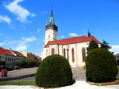
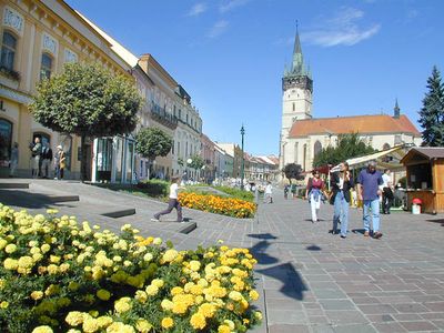
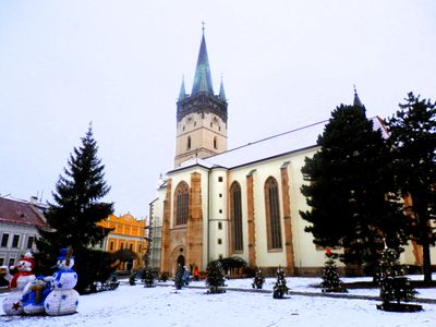
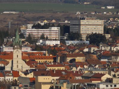
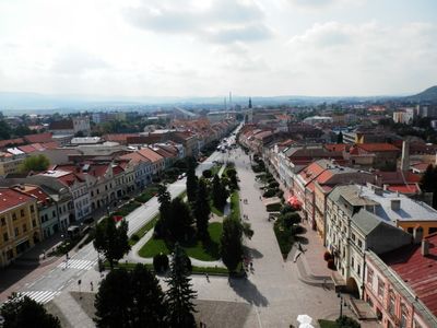
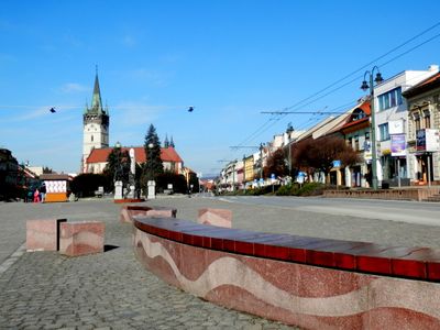
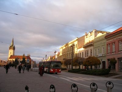
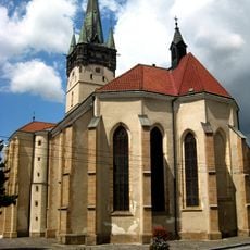
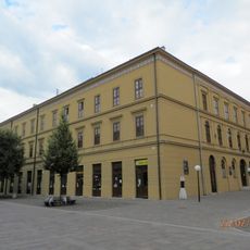
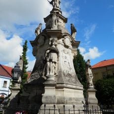
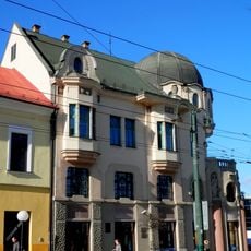
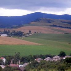
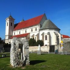
Prešov is an administrative center in Eastern Slovakia with a central street that widens into a spindle-shaped square lined with Gothic and Baroque buildings. The city extends across several hills and valleys along the river Torysa, connecting residential districts with the historic core at an elevation of around 250 meters.
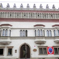
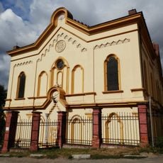
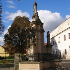
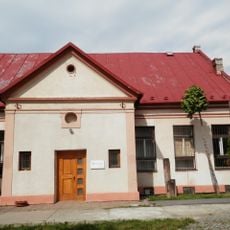
German settlers founded the medieval town in 1247, transforming agricultural settlements into a trading center in northeastern Slovakia. In the 16th century the town became a focal point of the Reformation and later experienced sweeping architectural changes under Habsburg rule.
The Jonáš Záborský Theatre offers performances and concerts while maintaining the traditions of Slovak, Polish, Ukrainian and Rusyn communities. The city takes its name from the old Slavic river Torysa, along whose banks the first settlers made their homes.
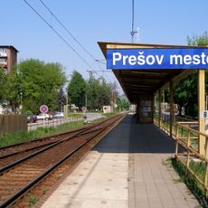
The municipal transport system operates trolleybuses and regular buses connecting all districts with the historic center. Visitors on foot will find most sights within the compact old town core, which is easy to explore on foot.
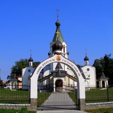
The salt mines of Solivar, established in 1572, feature preserved technical structures for salt extraction and processing methods from medieval times. Below the church of Saint Nicholas, a crypt with mummies was discovered, preserved by natural conditions over centuries.
The community of curious travelers
AroundUs brings together thousands of curated places, local tips, and hidden gems, enriched daily by 60,000 contributors worldwide.