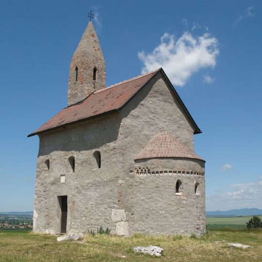
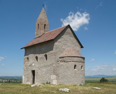
Dražovce, human settlement
The community of curious travelers
AroundUs brings together thousands of curated places, local tips, and hidden gems, enriched daily by 60,000 contributors worldwide.
Zobor
3.9 km
Nitra Castle
4.5 km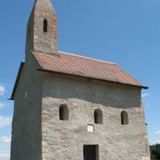
St. Michael the Archangel Church
360 m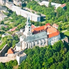
St. Emmeram's Cathedral, Nitra
4.5 km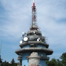
Transmitter Zobor
3.8 km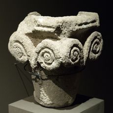
Zobor Abbey
2.8 km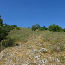
Zoborská lesostep
3 km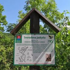
Svoradova jaskyňa
2.9 km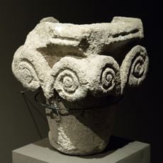
Zobor Abbey
2.7 km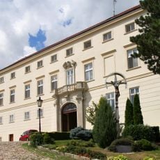
Bishop's Palace
4.5 km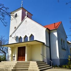
St. Urban Church
4 km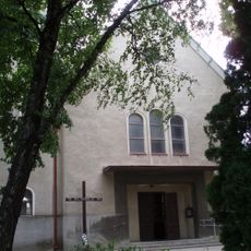
Kostol Narodenia Panny Márie (Lužianky)
2.3 km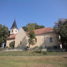
Kostol svätej Márie Magdalény (Jelšovce)
3.2 km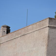
Nitriansky hrad, bastión III.
4.5 km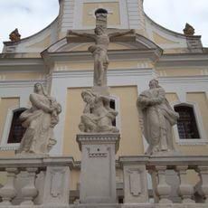
Areál farského kostola, súsošie-socha I.
197 m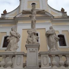
Areál farského kostola, súsošie-socha II.
197 m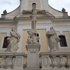
Areál farského kostola, súsošie-socha III.
197 m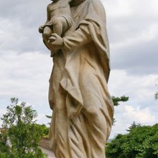
Nitriansky hrad, socha vi. -kópia
4.5 km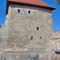
Nitriansky hrad, veža nárožná
4.5 km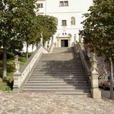
Nitriansky hrad, schodisko vonkajšie
4.5 km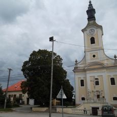
Areál farského kostola, kostol
208 m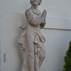
Nitriansky hrad, socha vii. -kópia
4.5 km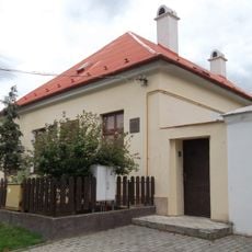
Areál farského kostola, fara pamätná
176 m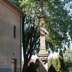
Kríž pri kostole, pilier s podstavcom
3.5 km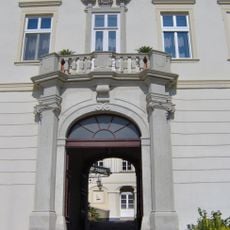
Nitriansky hrad, reliéf-vsa XII.
4.5 km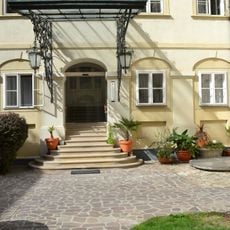
Nitriansky hrad, nádvorie palácové
4.5 km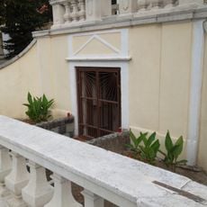
Areál farského kostola, krypta
202 m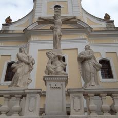
Areál farského kostola, súsošie-kríž s korpusom
197 mDiscover hidden gems everywhere you go!
From secret cafés to breathtaking viewpoints, skip the crowded tourist spots and find places that match your style. Our app makes it easy with voice search, smart filtering, route optimization, and insider tips from travelers worldwide. Download now for the complete mobile experience.

A unique approach to discovering new places❞
— Le Figaro
All the places worth exploring❞
— France Info
A tailor-made excursion in just a few clicks❞
— 20 Minutes
