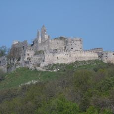
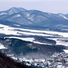
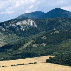
Vápenná, Mountain summit in Malacky District, Slovakia.
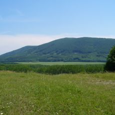
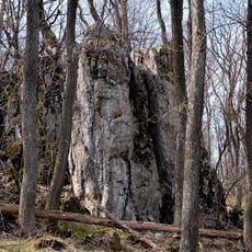
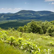
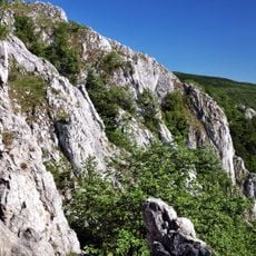
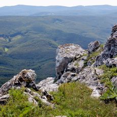
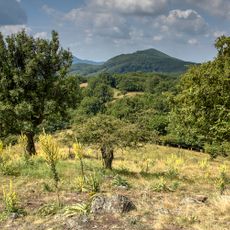
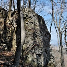
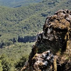
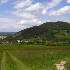
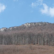
Vápenná is a mountain peak in the Little Carpathians that rises 752 meters above the surrounding valley. Its slopes are covered in dense beech forests, with limestone formations visible throughout the landscape.
The summit lies on the main ridge of the Little Carpathians, in the Pezinské Karpaty range, and its slopes drain into the Sološnický and Plavecký streams, both feeding the Rudava in the Morava basin. The massif forms part of the Roštún national nature reserve, where the fifth, highest degree of protection applies. The red-marked Štefánik highway, followed by the Cesta hrdinov SNP route, crosses the peak.
The name Roštún, used for both the peak and the surrounding national nature reserve, appears alongside Vápenná on maps and in local speech. The summit lies on the Cesta hrdinov SNP, the long-distance route across Slovakia, and the European long-distance path E8 also runs over it, so through-hikers pass the obelisk tower regularly.
Several marked trails reach the summit, with the easiest starting point near the village of Plavecké Podhradie not far away. The walk is suitable for people of different hiking abilities and does not require special equipment.
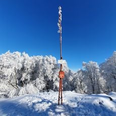
The five-metre reinforced-concrete lookout on the summit, shaped like an obelisk with a steel platform and ladder, was built in 2003. The ridge and summit are densely wooded, so this small tower is the only way to get a full circular view.
The community of curious travelers
AroundUs brings together thousands of curated places, local tips, and hidden gems, enriched daily by 94,311 contributors worldwide.