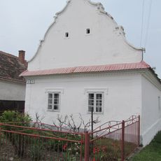
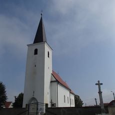
Borská nížina, Lowland in southwestern Slovakia.
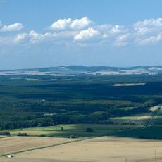
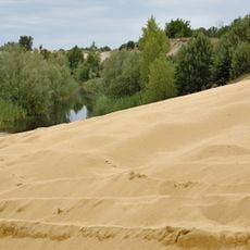
Borská nížina is a geomorphological unit of the Záhorie lowland in western Slovakia, covering about 1,000 km² between the Morava river and the Little Carpathians. It is the country's largest area of wind-blown sand, with a flat to hilly relief and pine forests called bory. Its highest point is Kopec Márie Magdalény (297 m) near the Habány hamlet.
The lowland's name comes from the bor, the pine forests that cover its sandy soils. It forms part of the Vienna Basin in western Slovakia, bordered by the Morava river to the west and the Little Carpathians to the east. Its highest point is Kopec Márie Magdalény at 297 m near the Habány hamlet. Malacky, Slovakia's westernmost town, lies within it.
The name comes from the bor, the pine forests that cover the lowland. Malacky, the westernmost town in Slovakia, lies within the area, and the highest point is Kopec Márie Magdalény (297 m) near the Habány hamlet. The lowland is divided into seven sub-units, among them Bor, Gbelský bor and Záhorské pláňavy.
The area has a network of paths that allow you to explore the landscape on foot or by bike. Villages scattered throughout serve as good starting points for walks through the farmland.
The name comes from the bor, the pine forests that cover the lowland; it is the largest area of wind-blown sand in Slovakia. The highest point is Kopec Márie Magdalény at 297 m, near the hamlet of Habány. The lowland is divided into seven sub-units, among them Bor, Gbelský bor and Záhorské pláňavy.
The community of curious travelers
AroundUs brings together thousands of curated places, local tips, and hidden gems, enriched daily by 94,303 contributors worldwide.