
Kľačno, municipality of Slovakia
Location: Prievidza District
Inception: 1413
Elevation above the sea: 400 m
Website: http://klacno.eu
GPS coordinates: 48.91250,18.65778
Latest update: March 2, 2025 21:08

Cesta hrdinov SNP
4.7 km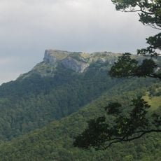
Kľak
7.8 km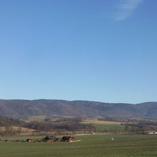
Žiar
6.8 km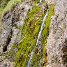
Kľacký vodopád
7.8 km
Vyšehrad
5.1 km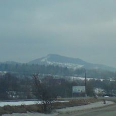
Vyšehrad
5.1 km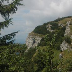
Kľak (národná prírodná rezervácia)
7.4 km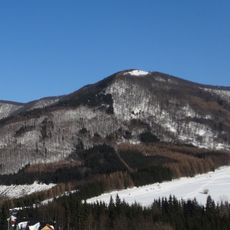
Reváň
6.1 km
Homôľka
6.4 km
Vyšehrad
5.1 km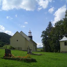
Vrícka kotlina
7.2 km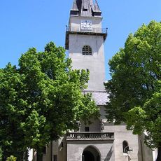
Church of the Beheading of Saint John the Baptist in Nitrianske Pravno
4.9 km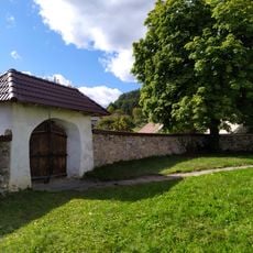
Farský kostol Všetkých svätých, brána
7.4 km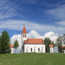
Kalvária, kalvária
4.9 km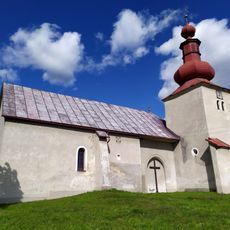
Farský kostol Všetkých svätých, kostol
7.4 km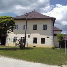
Kúria Briestenských
5 km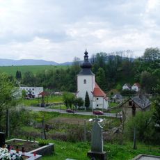
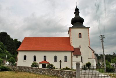
Pôv. kostol sv. Gála, bašta
2.2 km
Pôv. kostol sv. Gála, kostol
2.1 km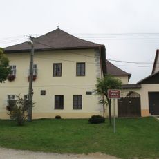
House of the Carpathian-German Society, Nitrianske Pravno
5 km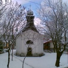
Kaplnka rod. Pálešovej
163 m
Pôv. kostol sv. Gála, múr hradbový
2.2 km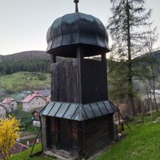
Drevená zvonica
5.9 km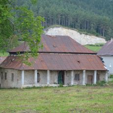
Országovský kaštieľ
7.5 km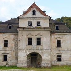
Kaštieľ Prónayovcov, kaštieľ
7.6 km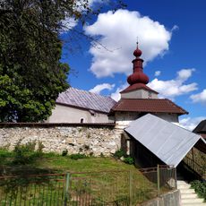
Farský kostol Všetkých svätých, múr ohradný
7.4 km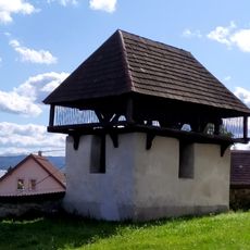
Farský kostol Všetkých svätých, zvonica
7.4 km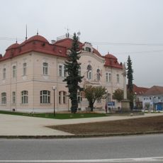
Obecný úrad, radnica, býv. hosti.
4.9 km
Hradisko Vyšehrad
5.1 kmVisited this place? Tap the stars to rate it and share your experience / photos with the community! Try now! You can cancel it anytime.
Discover hidden gems everywhere you go!
From secret cafés to breathtaking viewpoints, skip the crowded tourist spots and find places that match your style. Our app makes it easy with voice search, smart filtering, route optimization, and insider tips from travelers worldwide. Download now for the complete mobile experience.

A unique approach to discovering new places❞
— Le Figaro
All the places worth exploring❞
— France Info
A tailor-made excursion in just a few clicks❞
— 20 Minutes