·

Enable Location

We need your location to show you interesting places around you

Discover nearby places

Find interesting locations and hidden gems around you

Precise directions

Get accurate directions and distances to places

Your location is never shared with other users. It's only used when you tap the location button.

Marhát

Log in to your account

Start exploring — it's free

Trusted by 62,652 travelers worldwide

Continue with Google
Continue with Apple
or

We will send you a code to connect

By continuing, you accept our Terms and Conditions and our Privacy Policy

Check your inbox

We've sent a pincode in your inbox. Please enter the code below.

Marhát

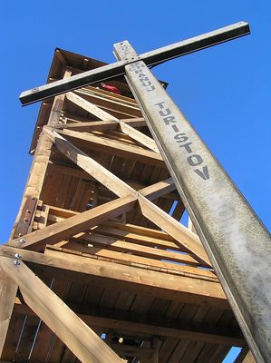
Marhát, Mountain summit in Piešťany District, Slovakia

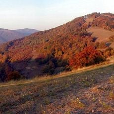
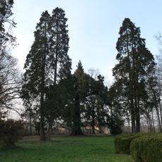
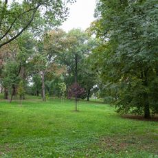
Marhát is a mountain peak reaching 748 meters within the Považský Inovec range in western Slovakia. The slopes are covered with forest and the surrounding terrain includes several valleys and agricultural areas.

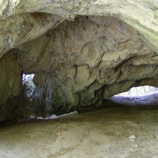
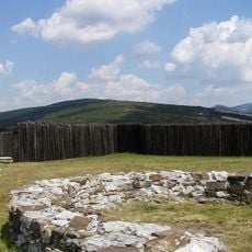
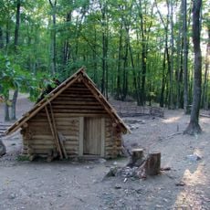
The peak was the site of a fortified settlement during the Late Bronze Age and later became important during the Iron Age. Early inhabitants chose this location to control trade routes passing through the surrounding valleys.

The peak serves as a natural landmark that locals use to navigate the surrounding valleys and understand the region's geography. People in the area reference it when describing directions and boundaries between different valleys.

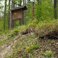
Marked trails ascend from several starting points around the base, requiring proper hiking gear and water for the journey. The climb takes roughly one to two hours depending on the route chosen and is suitable for hikers with moderate fitness.

The eastern slopes contain iron ore deposits that have drawn people to settle in this area since ancient times. This resource shaped the early economic development of the surrounding communities and their relationship with the landscape.

The community of curious travelers

AroundUs brings together thousands of curated places, local tips, and hidden gems, enriched daily by 60,000 contributors worldwide.

Start exploring
Elevation above the sea
748 m
GPS coordinates
48.59477,17.97066
Latest update
December 12, 2025 07:55
« Marhát - Mountain summit in Piešťany District, Slovakia » is provided by Around Us (aroundus.com). Images and texts are derived from Wikimedia project under a Creative Commons license. You are allowed to copy, distribute, and modify copies of this page, under the conditions set by the license, as long as this note is clearly visible.

Discover hidden gems everywhere you go!

From secret cafés to breathtaking viewpoints, skip the crowded tourist spots and find places that match your style. Our app makes it easy with voice search, smart filtering, route optimization, and insider tips from travelers worldwide. Download now for the complete mobile experience.

Around Us App Screenshot

A unique approach to discovering new places

Le Figaro

All the places worth exploring

France Info

A tailor-made excursion in just a few clicks

20 Minutes

Around Us
Travel Guide & Maps
Download

Send to your phone

QR Code
1

Open the camera app on your mobile.

2

Point at the QR code with your camera. A notification will appear.

3

Tap the notification to open the link.