Ḑahīr, بركان في محافظة ريف دمشق، سوريا
Location: Rif Dimashq Governorate
GPS coordinates: 33.25056,37.07472
Latest update: April 1, 2025 11:15
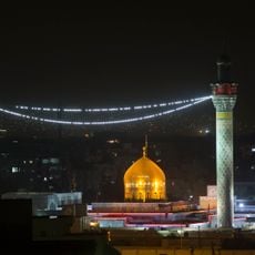
Sayyidah Zaynab Mosque
71.6 km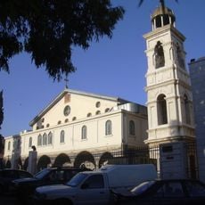
Eastern Orthodox Patriarchate of Antioch
76.6 km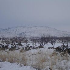
Jabal al-Druze
72.4 km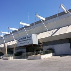
Amman International Stadium
76.4 km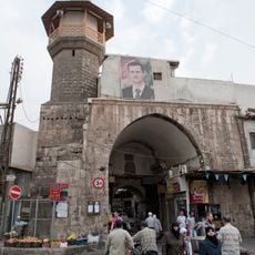
Bab al-Saghir
76.9 km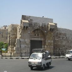
Bab Tuma
76.4 km
Abbasiyyin Stadium
76.4 km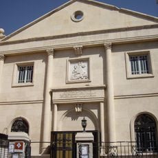
Saint George Cathedral in Damascus
76.3 km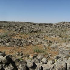
Lajat
65.7 km
Damascus Straight Street
76.6 km
Our Lady of the Assumption Cathedral
76.1 km
Namara
47.1 km
Syriac Catholic cathedral
76.1 km
Al-Mushannaf
63.1 km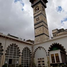
Aqsab Mosque
76.9 km
Prince Mohammed Stadium
76.4 km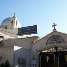
Surp Sarkis Church, Damascus
76 km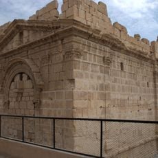
Temple of Zeus Hypsistos
56.2 km
Patriarchal Exarchate of Damascus
76.5 km
Tell eṣ-Ṣaliḥiyeh
63.2 km
جامع الرحمن في اللاذقية
71.6 km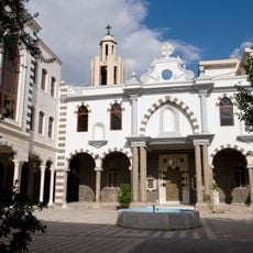
Syrian Catholic Archeparchy of Damascus
76.1 km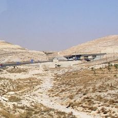
Al-Arous Caravansarai
76 km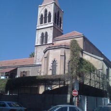
Pauluskloster der Franziskaner
76.3 km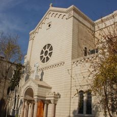
Church of the Queen of the Universe
76.5 km
St. George's Cathedral
76.1 km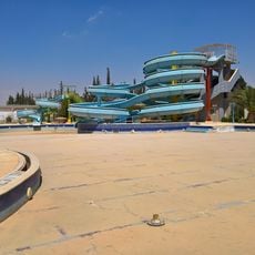
Happy Land
65.3 km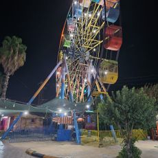
Douma Zoo - حديقة الحيوانات
71.1 kmReviews
Visited this place? Tap the stars to rate it and share your experience / photos with the community! Try now! You can cancel it anytime.
Discover hidden gems everywhere you go!
From secret cafés to breathtaking viewpoints, skip the crowded tourist spots and find places that match your style. Our app makes it easy with voice search, smart filtering, route optimization, and insider tips from travelers worldwide. Download now for the complete mobile experience.

A unique approach to discovering new places❞
— Le Figaro
All the places worth exploring❞
— France Info
A tailor-made excursion in just a few clicks❞
— 20 Minutes