Log in to your account

AroundUs is a community-driven map of interesting places, built by curious explorers like you. It grows with every review, story, and photo you share.
Connect to save your favorite spots, contribute locations, and create personalized routes.
Continue with Google
Continue with Apple
Continue with X
Continue with Facebook
Continue with email
By continuing, you accept our Terms and Conditions and our Privacy Policy
Create an account

Doi Luang National Park

Add to collection
Map
Suggest a change
Share

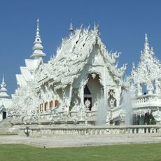
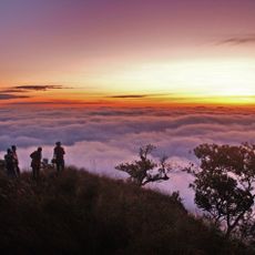
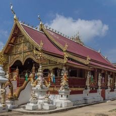
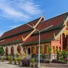
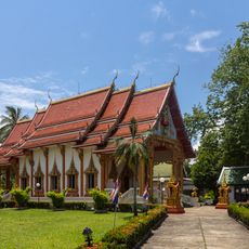
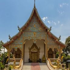
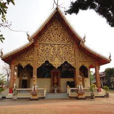
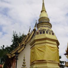
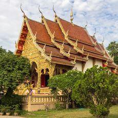
Doi Luang National Park, Protected mountain area in northern Thailand.

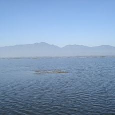
This national park is a large protected area in northern Thailand with dense forests, high mountain peaks, and numerous limestone waterfalls. The terrain spreads across different elevations and offers varied landscapes with different plant and animal communities.

The park was officially established by the Thai government as a protected area in 1990 to preserve natural habitats and wildlife. This designation made it part of Thailand's network of protected forests and mountain regions.

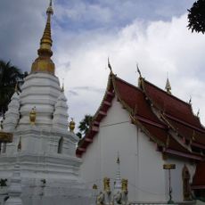
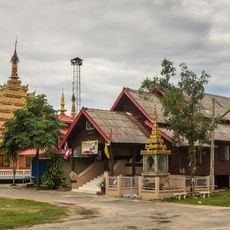
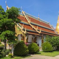
Villages near the park have adapted to mountain life, and their daily work follows the rhythm of nature throughout the seasons. People here farm the land in traditional ways and use the surrounding resources while keeping them intact.

The best time for hiking is from November to January, when temperatures are mild and rainfall is lower. During the remaining months, especially from June to October, regular rains make trails wet and walking more difficult.

Wang Kaeo Waterfall stands out for its limestone structure with multiple levels that cascade down one after another. Water flows continuously throughout the year, creating an impressive natural display.

Inception: April 16, 1990

GPS coordinates: 19.45225,99.75705

Latest update: December 12, 2025 09:03

Photos
Reviews

Visited this place? Tap the stars to rate it and share your experience / photos with the community! Try now! You can cancel it anytime.

« Doi Luang National Park - Protected mountain area in northern Thailand » is provided by Around Us (aroundus.com). Images and texts are derived from Wikimedia project under a Creative Commons license. You are allowed to copy, distribute, and modify copies of this page, under the conditions set by the license, as long as this note is clearly visible.

Discover hidden gems everywhere you go!

From secret cafés to breathtaking viewpoints, skip the crowded tourist spots and find places that match your style. Our app makes it easy with voice search, smart filtering, route optimization, and insider tips from travelers worldwide. Download now for the complete mobile experience.

Around Us App Screenshot

A unique approach to discovering new places

Le Figaro

All the places worth exploring

France Info

A tailor-made excursion in just a few clicks

20 Minutes