San Pa Tong, Administrative district in northern Chiang Mai, Thailand
San Pa Tong is an administrative district in northern Chiang Mai comprising eleven sub-districts with numerous villages spread across the territory. The area sits at an elevation of around 300 meters and encompasses several hundred square kilometers of land.
The district was known as Ban Mae until 1939, when it received its current name marking an administrative change. This renaming occurred during a period of regional administrative restructuring in northern Thailand.
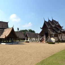
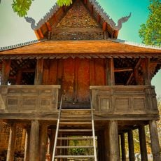
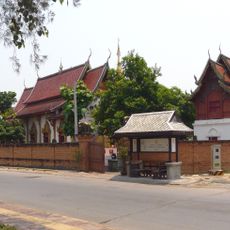
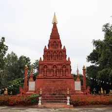
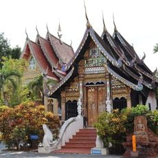
The eleven sub-districts maintain Northern Thai traditions through local markets, agricultural practices, and community gatherings that shape the regional identity.
The region connects to Chiang Mai and neighboring areas through a network of local roads and routes. Visitors should expect rural infrastructure typical of regional areas, with shared transportation and local vehicles being common.
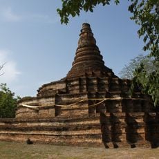
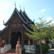
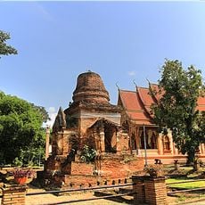
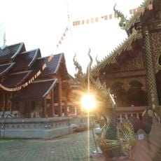
Archaeological remains of a walled settlement called Wiang Tha Kan were discovered in Ban Klang and date back about 1,000 years. These excavations reveal that the area was an important settlement site during the Haripunchai Kingdom period.
The community of curious travelers
AroundUs brings together thousands of curated places, local tips, and hidden gems, enriched daily by 60,000 contributors worldwide.