Enable Location

We need your location to show you interesting places around you

Discover nearby places

Find interesting locations and hidden gems around you

Precise directions

Get accurate directions and distances to places

Your location is never shared with other users. It's only used when you tap the location button.

Log in to your account

Start exploring — it's free

Trusted by 61,966 travelers worldwide

Continue with Google
Continue with Apple
or

We will send you a code to connect

By continuing, you accept our Terms and Conditions and our Privacy Policy

Check your inbox

We've sent a pincode in your inbox. Please enter the code below.

Si Maha Phot

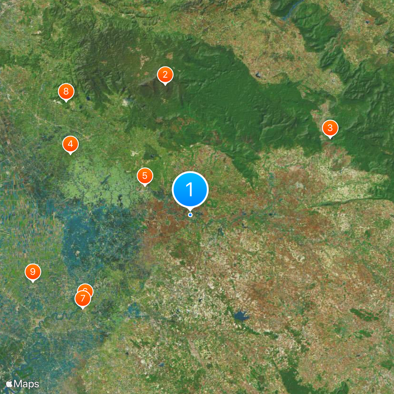
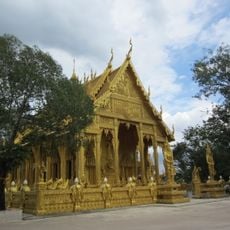
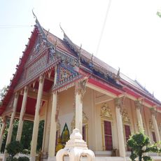
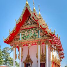
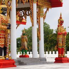
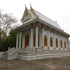
Si Maha Phot, Administrative district in Prachin Buri, Thailand

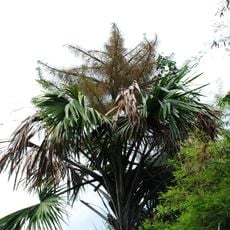
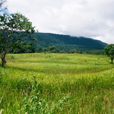
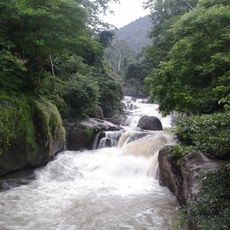
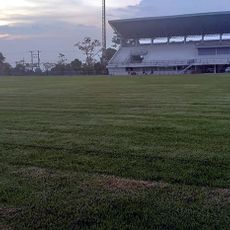
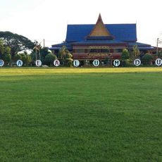
Si Maha Phot is an administrative district in eastern Thailand that encompasses ten sub-districts spread across agricultural lands. The region contains numerous villages set within farming areas that show different farming practices.

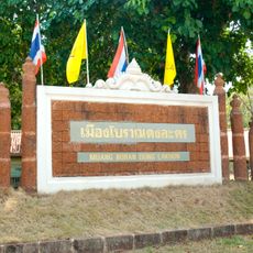
The district experienced a significant name change in 1993 when it shifted from Khok Pip to Si Maha Phot as part of local administrative reorganization. This marked an important turning point in how the area was governed and identified.

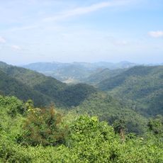
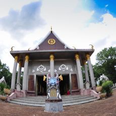
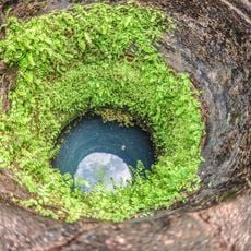
The name Si Maha Phot comes from Thai words meaning 'great tree,' honoring the agricultural roots of this eastern region. This reflects how deeply farming and natural landscape shape the community's identity.

The district uses postal code 25140 for mail and deliveries. The area is accessible through industrial zones like Rojana Industrial Park, which help connect the region to broader transportation networks.

The Rojana Industrial Park hosts vehicle manufacturing operations, connecting this farming area to global production networks. This industrial presence stands out starkly against the otherwise agricultural character of the district.

The community of curious travelers

AroundUs brings together thousands of curated places, local tips, and hidden gems, enriched daily by 60,000 contributors worldwide.

Start exploring
Location
Capital city
Si Maha Phot
Elevation above the sea
16 m
GPS coordinates
13.98306,101.51306
Latest update
December 20, 2025 12:43
« Si Maha Phot - Administrative district in Prachin Buri, Thailand » is provided by Around Us (aroundus.com). Images and texts are derived from Wikimedia project under a Creative Commons license. You are allowed to copy, distribute, and modify copies of this page, under the conditions set by the license, as long as this note is clearly visible.

Discover hidden gems everywhere you go!

From secret cafés to breathtaking viewpoints, skip the crowded tourist spots and find places that match your style. Our app makes it easy with voice search, smart filtering, route optimization, and insider tips from travelers worldwide. Download now for the complete mobile experience.

Around Us App Screenshot

A unique approach to discovering new places

Le Figaro

All the places worth exploring

France Info

A tailor-made excursion in just a few clicks

20 Minutes

Around Us
Travel Guide & Maps
Download

Send to your phone

QR Code
1

Open the camera app on your mobile.

2

Point at the QR code with your camera. A notification will appear.

3

Tap the notification to open the link.