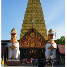
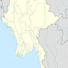
Thong Pha Phum, Administrative district in Kanchanaburi, Thailand.
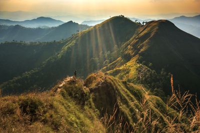
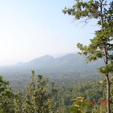
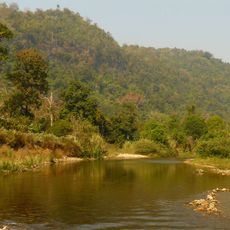
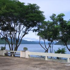
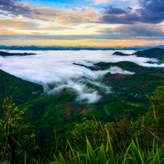
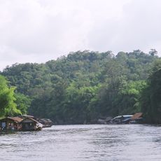
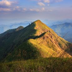
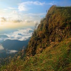
Thong Pha Phum is an administrative district in Kanchanaburi that stretches along the Khwae Noi River with mountains rising toward the Myanmar border. The area sits at around 398 meters elevation and features a mix of river valleys and forested hillsides.
The area began as a smaller administrative zone under Sangkhla Buri in 1939 before gaining full district status in 1941. This change brought the creation of six initial administrative subdivisions.
The people here have a deep connection to the river that shapes how they live and eat every day. Fresh fish from the Khwae Noi forms the heart of the local food traditions and remains central to the community.
Main transportation hubs cluster around the market area and the Highway 3272 junction, where regular buses and songthaews operate throughout the district. These central points make it straightforward to get around and reach different areas.
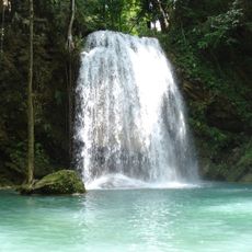
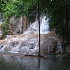
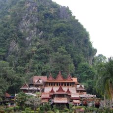
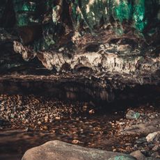
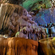
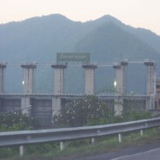
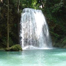
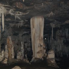
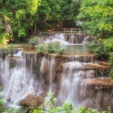
The area holds the Vajiralongkorn Dam and several national parks with diverse forest and water settings. Nestled in the mountains is Pilok, a former mining settlement that offers a glimpse into the region's industrial past.
Location: Kanchanaburi
Elevation above the sea: 398 m
GPS coordinates: 14.74583,98.62500
Latest update: December 7, 2025 20:46
Wat Pha Luangta Maha Bua
95.9 km
Hellfire Pass
56 km
Huai Kha Khaeng Wildlife Sanctuary
72.5 km
Mueang Sing historical park
102.9 km
Thungyai Naresuan Wildlife Sanctuary
72.5 km
Vajiralongkorn Dam
6.7 km
Khao Chon Kai Training Camp
107 km
Uttamanusorn Bridge
48.1 km
Erawan National Park
65.2 km
Thungyai-Huai Kha Khaeng Wildlife Sanctuaries
72.5 km
Leke
91.1 km
Wat Wang Wiwekaram
47.2 km
Khuean Srinagarindra National Park
44.3 km
Phu Toei National Park
91.7 km
Sai Yok National Park
38.8 km
Thong Pha Phum National Park
24.6 km
Khao Laem National Park
30.9 km
Wat Tha Khanun
1.2 km
Sai Yok Noi waterfall
73.3 km
Wat Tham Khao Wong
94.9 kmTanintharyi Nature Reserve
40.2 km
Chaloem Rattanakosin National Park
73.2 km
Lam Khlong Ngu National Park
30.1 km
Tha Thung Na Dam
87 km
Erawan waterfall
69.5 km
Tham Phu Wai
92.8 km
Nam Tok Huai Mae Khamin
40.4 km
Eindabala Chaung
106.9 kmVisited this place? Tap the stars to rate it and share your experience / photos with the community! Try now! You can cancel it anytime.
Discover hidden gems everywhere you go!
From secret cafés to breathtaking viewpoints, skip the crowded tourist spots and find places that match your style. Our app makes it easy with voice search, smart filtering, route optimization, and insider tips from travelers worldwide. Download now for the complete mobile experience.
A unique approach to discovering new places❞
— Le Figaro
All the places worth exploring❞
— France Info
A tailor-made excursion in just a few clicks❞
— 20 Minutes