Wiang Pa Pao District, Administrative district in Chiang Rai, Thailand
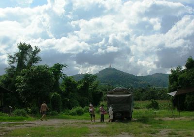
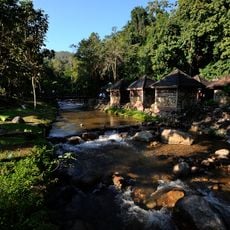
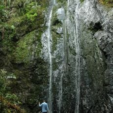
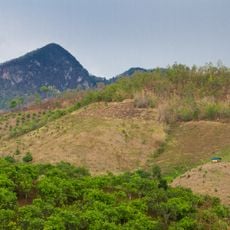
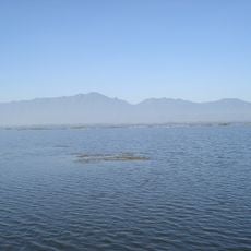
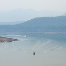
Wiang Pa Pao District is an administrative area in Chiang Rai situated at 838 meters elevation, encompassing scattered villages across mountainous terrain and farming valleys. The landscape features small settlements linked together by mountains and cultivation areas.
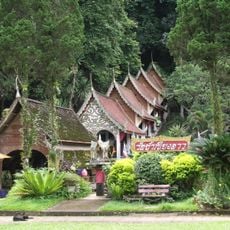
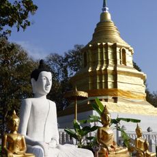
The area grew from ancient settlements and later became an administrative center connecting different communities throughout northern Thailand's mountainous regions. This role helped link the scattered villages together over time.
Local markets scattered throughout the area display handcrafted goods and farm products made by different ethnic communities. These places show how people here live together and pass down their traditional skills.
The area connects to Chiang Rai city via main highways with regular transportation services operating throughout the day. The best time to visit is during drier months when mountain roads are easier to travel.
The cultivation areas produce distinctive rice and fruit varieties that grow particularly well due to the elevation and climate. These special crops receive extra attention at market during specific seasons.
The community of curious travelers
AroundUs brings together thousands of curated places, local tips, and hidden gems, enriched daily by 60,000 contributors worldwide.