
Din Udom, subdistrict in Lam Thap district, Krabi province, Thailand
Location: Lam Thap
Inception: July 20, 1980
GPS coordinates: 8.09977,99.34946
Latest update: April 30, 2025 19:55
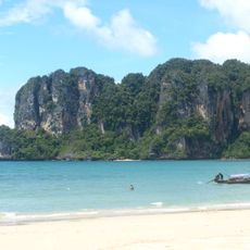
Railay Beach
57.1 km
Wat Tham Suea
46.8 km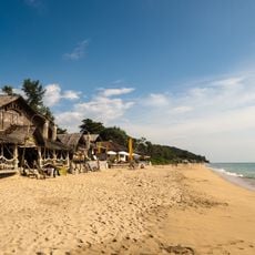
Ko Lanta
63 km
Pak Meng beach
66.7 km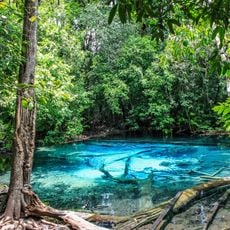
Khao Phanom Bencha National Park
50.4 km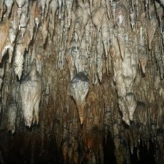
Khao Chang Hai cave
66.9 km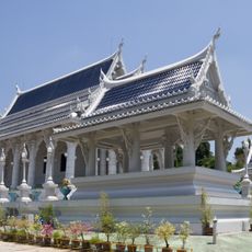
Wat Kaeo Korawaram
48.2 km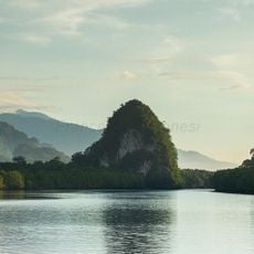
Khao Khanap Nam Cave
47.3 km
Khao Pu - Khao Ya National Park
61.1 km
Krabi Provincial Stadium
47.7 km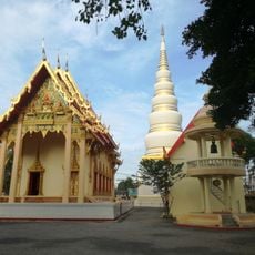
Wat Tantaya Phirom
66 km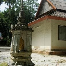
Wat Nikhro Tharam
65.2 km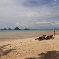
Tubkaek Beach
66.4 km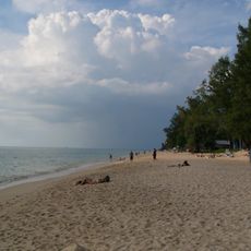
Phra Ae Beach
64.7 km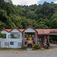
Sala Dan Bureau of Monks
61.2 km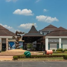
Andaman Cultural Centre
48.2 km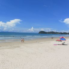
Klong Dao Beach
62.5 km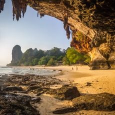
Phra Nang cave
57.1 km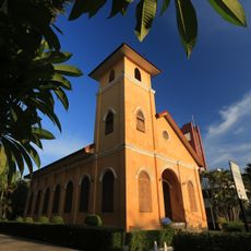
Trang church
66.4 km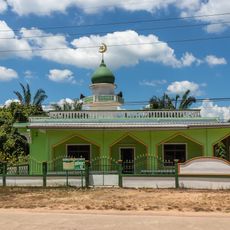
Ba-Lai Mosque
63.6 km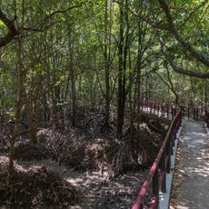
Krabi Mangrove Walking Trail
47.4 km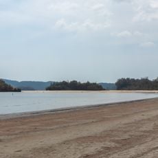
Noppharat Thara Beach
59.6 km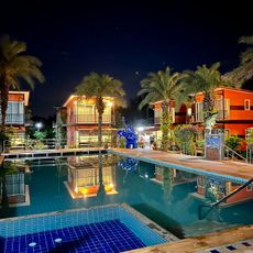
Rattana Resort & Waterpark
58.2 km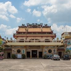
Chinese Temple
48.5 km
Krabi city pillar shrine
47.8 km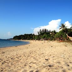
Relax Bay Beach
66.5 km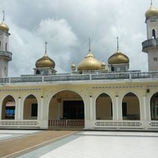
Al-Aman Mosque
59.1 km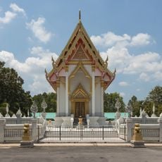
Wat Pan Rat
48.2 kmVisited this place? Tap the stars to rate it and share your experience / photos with the community! Try now! You can cancel it anytime.
Discover hidden gems everywhere you go!
From secret cafés to breathtaking viewpoints, skip the crowded tourist spots and find places that match your style. Our app makes it easy with voice search, smart filtering, route optimization, and insider tips from travelers worldwide. Download now for the complete mobile experience.

A unique approach to discovering new places❞
— Le Figaro
All the places worth exploring❞
— France Info
A tailor-made excursion in just a few clicks❞
— 20 Minutes