
Chong Kan Luang, Berggipfel in Thailand
Location: Thailand
Elevation above the sea: 224 m
GPS coordinates: 16.91667,102.68333
Latest update: March 17, 2025 17:32
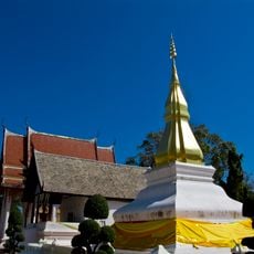
Phra That Kham Kaen
48.6 km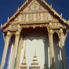
Phra Mahathat Kaen Nakhon
58.9 km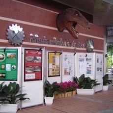
Phu Wiang Dinosaur Museum
51.7 km
Wat Pa Ban Tat
43.4 km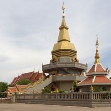
Wat Pho Somphon
56.3 km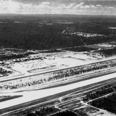
Royal Thai Air Base Nam Phong
42.1 km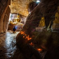
Thamkǭngphēn Monastery
38.5 km
Phu Wiang National Park
44 km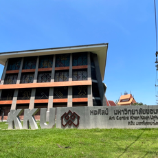
Art Centre Khon Kaen University
54.4 km
Wat Matchimawat
56.7 km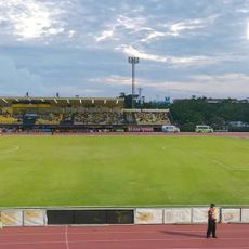
Khon Kaen Stadium
58.2 km
Nam Phong National Park
21.6 km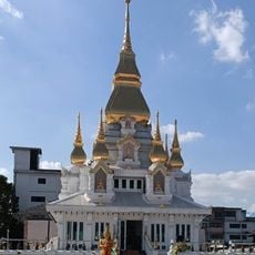
Wat Klang
58.1 km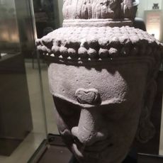
Khon Kaen National Museum
54.9 km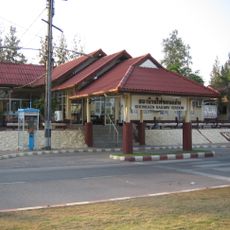
Khon Kaen Railway Station
56.6 km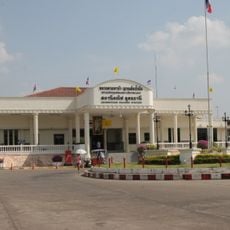
Udon Thani Railway Station
55.8 km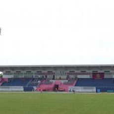
Nong Bua Lamphu Province Stadium
36.4 km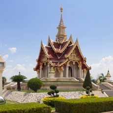
Udon Thani city pillar shrine
56.4 km
Wat Si That Phra Mancha
53.8 km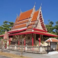
Wat Chaisi
45.4 km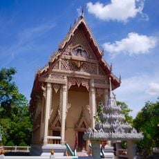
Wat Si Khun Mueang
42 km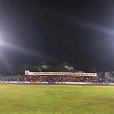
Udon Thani Rajabhat University Stadium
54.9 km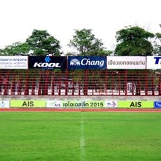
Khon Kaen Sports School Stadium
58.5 km
Wat Si Bun Rueang
43.3 km
Wat That Han Thao
34.9 km
Wat Pa Sam Kasat
58.6 km
Wat Thip Phayaram
30.6 km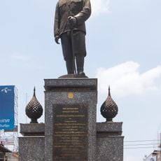
Krommaluang Prachaksinlapakhom Monument
55.2 kmReviews
Visited this place? Tap the stars to rate it and share your experience / photos with the community! Try now! You can cancel it anytime.
Discover hidden gems everywhere you go!
From secret cafés to breathtaking viewpoints, skip the crowded tourist spots and find places that match your style. Our app makes it easy with voice search, smart filtering, route optimization, and insider tips from travelers worldwide. Download now for the complete mobile experience.

A unique approach to discovering new places❞
— Le Figaro
All the places worth exploring❞
— France Info
A tailor-made excursion in just a few clicks❞
— 20 Minutes