
Nam Tok Mae Kon, Wasserfall in Thailand
Location: Chiang Rai
Elevation above the sea: 873 m
GPS coordinates: 19.88344,99.61614
Latest update: August 18, 2025 17:12

Wat Rong Khun
16.8 km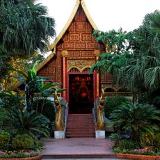
Wat Phra Kaeo
22.4 km
Wat Huai Pla Kang
21.2 km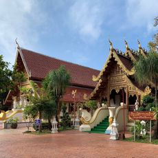
Wat Phra Sing
22.7 km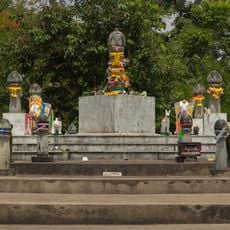
The Navel City Pillar of Chiang Rai
21.9 km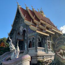
Wat Phra That Doi Khao Khwai Kaeo
20.3 km
Wat Ming Mueang
22.3 km
Wat Tham Phra
18.5 km
Wat Chet Yot
22.6 km
Darunaman Mosque
22.5 km
Wat Doi Ngam Mueang
22.1 km
Lam Nam Kok National Park
12.7 km
Great Guan Yin Statue, Wat Huay Pla Kang
21.1 km
Wat Klang Wiang
22.8 km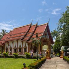
Wat Mengrai Maharat
19.6 km
Wat Si Bun Rueang
23.4 km
Wat Doi Phrabat
21.8 km
Wat Si Sai Mun
23.5 km
Wat Chiang Yuen
22.1 km
Wat Si Koet
23.5 km
Wat San Pa Ko
22.3 km
Wat Mung Mueang
22.5 km
Wat Chetuphon
21.3 km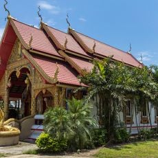
Wat Nam Lat Wang Sang
21.6 km
Rai Mae Fa Luang Art and Cultural Park
18.8 km
Lanna Scripture Museum
23.4 km
Darul Aman Mosque
22.5 km
Chiang Rai Train Library
22.7 kmVisited this place? Tap the stars to rate it and share your experience / photos with the community! Try now! You can cancel it anytime.
Discover hidden gems everywhere you go!
From secret cafés to breathtaking viewpoints, skip the crowded tourist spots and find places that match your style. Our app makes it easy with voice search, smart filtering, route optimization, and insider tips from travelers worldwide. Download now for the complete mobile experience.

A unique approach to discovering new places❞
— Le Figaro
All the places worth exploring❞
— France Info
A tailor-made excursion in just a few clicks❞
— 20 Minutes