
Nam Tok Sai Kamon, Wasserfall in Thailand
Location: Kanchanaburi
Elevation above the sea: 674 m
GPS coordinates: 14.80528,98.28222
Latest update: September 25, 2025 19:18

Wat Pha Luangta Maha Bua
127.9 km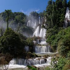
Thi Lo Su waterfall
134.7 km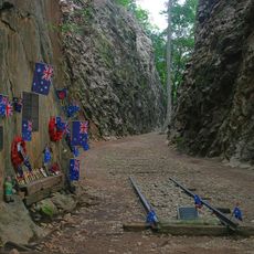
Hellfire Pass
87.9 km
Huai Kha Khaeng Wildlife Sanctuary
90 km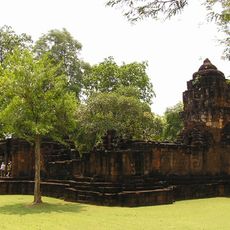
Mueang Sing historical park
134 km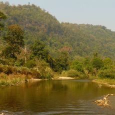
Thungyai Naresuan Wildlife Sanctuary
90 km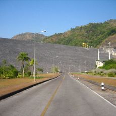
Vajiralongkorn Dam
33.9 km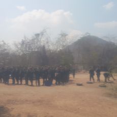
Khao Chon Kai Training Camp
140.9 km
Uttamanusorn Bridge
41.7 km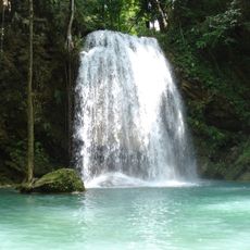
Erawan National Park
98.9 km
Thungyai-Huai Kha Khaeng Wildlife Sanctuaries
90 km
Leke
73.9 km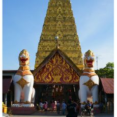
Wat Wang Wiwekaram
40.2 km
Khuean Srinagarindra National Park
81.4 km
Phu Toei National Park
127.3 km
Sai Yok National Park
66.1 km
Thong Pha Phum National Park
18.1 km
Khao Laem National Park
41.6 km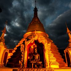
Wat Tha Khanun
38.7 km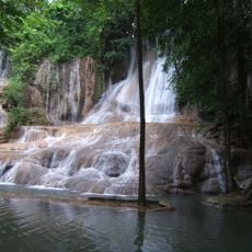
Sai Yok Noi waterfall
104.8 km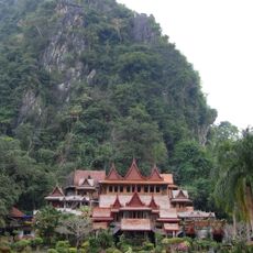
Wat Tham Khao Wong
128.8 km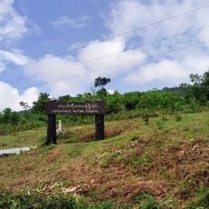
Tanintharyi Nature Reserve
22.9 km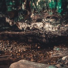
Chaloem Rattanakosin National Park
110.7 km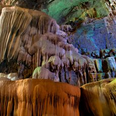
Lam Khlong Ngu National Park
63.9 km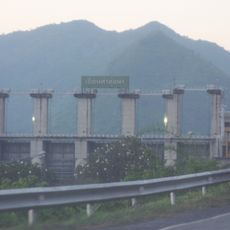
Tha Thung Na Dam
120.7 km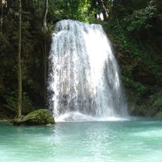
Erawan waterfall
104.5 km
Tham Phu Wai
127 km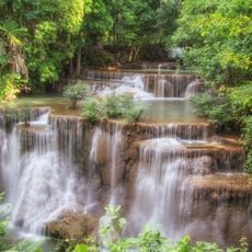
Nam Tok Huai Mae Khamin
77.8 kmReviews
Visited this place? Tap the stars to rate it and share your experience / photos with the community! Try now! You can cancel it anytime.
Discover hidden gems everywhere you go!
From secret cafés to breathtaking viewpoints, skip the crowded tourist spots and find places that match your style. Our app makes it easy with voice search, smart filtering, route optimization, and insider tips from travelers worldwide. Download now for the complete mobile experience.

A unique approach to discovering new places❞
— Le Figaro
All the places worth exploring❞
— France Info
A tailor-made excursion in just a few clicks❞
— 20 Minutes