Ismoil Somoni Peak, Mountain summit in Pamir Range, Tajikistan
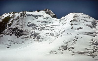
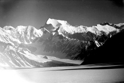
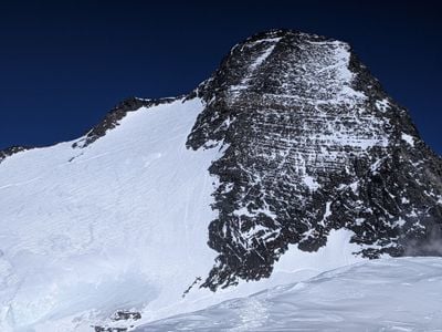
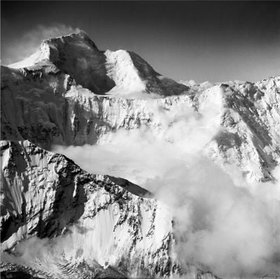
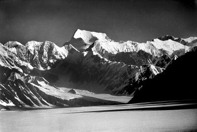
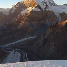
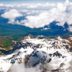
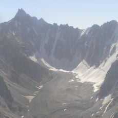
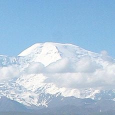
Ismoil Somoni Peak is a mountain summit in the Pamir Range that rises to 7495 meters (24590 feet), making it the highest point in Tajikistan. The flanks of the peak consist of glaciers and steep ice slopes that rise from the surrounding high-altitude terrain.
The mountain was first called Stalin Peak in 1933 when Soviet climbers made the first ascent, and was renamed Communism Peak in 1962. After Tajikistan gained independence, it received its current name in 1998 after a medieval ruler of the region.
The summit carries the name of Ismail Samani, a 9th-century ruler whose dynasty shaped the region and remains a symbol of culture and identity in modern Tajikistan. His portrait appears on Tajik currency, and the mountain itself represents national pride in a country that views its peaks as part of its heritage.
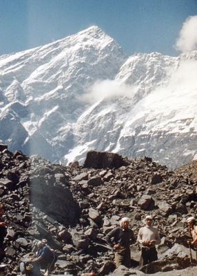
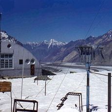
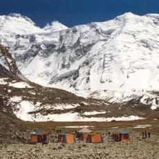
Expeditions typically start from the Moskvina Glade base camp at 4200 meters (13780 feet), which is accessible only by helicopter. Preparation time there takes several days to adjust to the altitude before the ascent begins.
The first successful ascent took place on September 3, 1933, by Soviet mountaineers Yevgeniy Abalakov and Nikolay Gorbunov after several attempts. The climb followed the western flank, a route that has since been used by many expeditions.
The community of curious travelers
AroundUs brings together thousands of curated places, local tips, and hidden gems, enriched daily by 60,000 contributors worldwide.