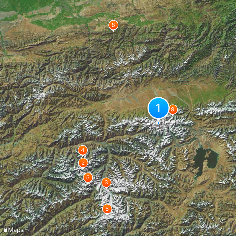
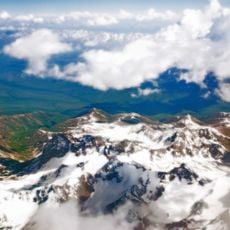
Lenin Peak, Mountain summit between Osh Region, Kyrgyzstan and Gorno-Badakhshan, Tajikistan.
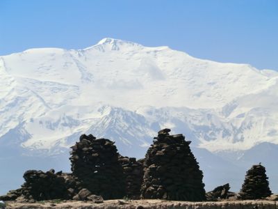
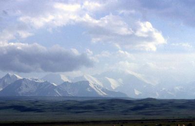
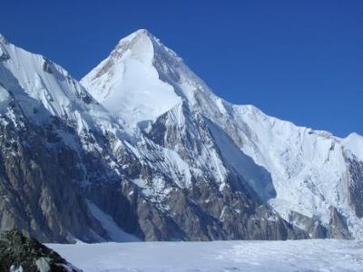
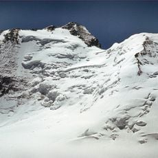
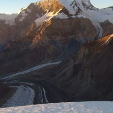
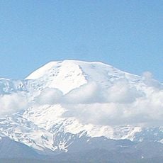
Lenin Peak rises to 7,134 meters in the Trans-Alay Range between Kyrgyzstan and Tajikistan, forming a stark limestone pyramid with steep flanks on all sides. Sixteen established climbing routes traverse the northern and southern slopes, offering various levels of technical difficulty.
First climbed in September 1928 by German and Austrian mountaineers during a Soviet-German scientific expedition via the northeast ridge route. This early ascent established the foundation for systematic exploration and scientific study of the trans-border mountain range.
The mountain is called Lenin Chokusu in Kyrgyzstan and Qullai Abuali ibni Sino in Tajikistan, showing how different communities honor the same peak with their own names. These dual names shape how locals and climbers refer to the place depending on which border they approach from.
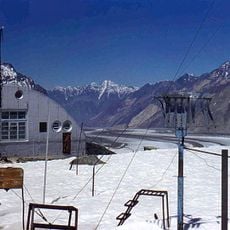
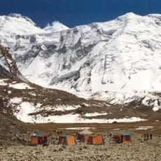
The climbing season requires about three weeks of preparation with multiple acclimatization periods at different camps starting from the base at 3,600 meters. Climbers need solid mountaineering experience and physical fitness, as the ascent involves adapting to high altitude before reaching the summit.
A severe avalanche in 1990 killed 43 climbers and ranks as one of the deadliest incidents in mountaineering history on this peak. This tragedy prompted fundamental changes in safety protocols and route planning for all subsequent expeditions.
The community of curious travelers
AroundUs brings together thousands of curated places, local tips, and hidden gems, enriched daily by 60,000 contributors worldwide.