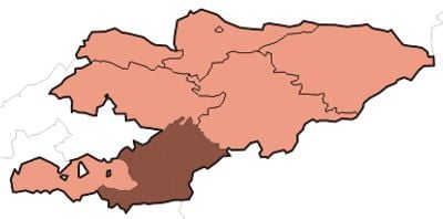
Osh Region, Administrative region in southwestern Kyrgyzstan.
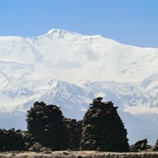
Osh Region is an administrative area in southwestern Kyrgyzstan covering diverse terrain that ranges from fertile plains to high mountains. The territory includes several districts with different landscapes and populations spread across valleys and foothills.
The region was formally organized as an administrative unit during the Soviet period and received its current official boundaries around the late 1930s. Since then, it has developed into a major center for trade and settlement in Central Asia.
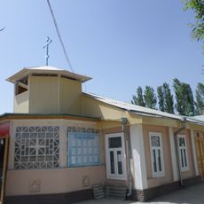
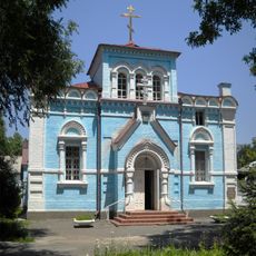
Multiple ethnic groups live here, with Kyrgyz and Uzbek populations forming the majority and shaping the region's daily customs and celebrations. Walking through towns and markets, you notice how different traditions blend in local architecture, food, and family practices.
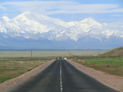
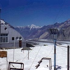
The regional hub of Osh sits on major trade routes connecting different parts of Central Asia, making it accessible from multiple directions. Keep in mind that mountainous terrain means travel between locations takes longer than you might expect on a map.
One part of this region is physically located within the borders of a neighboring country, reflecting the complex border arrangements common in Central Asia. This geographical quirk makes it a fascinating case of how administrative divisions can sometimes seem to defy ordinary geography.
The community of curious travelers
AroundUs brings together thousands of curated places, local tips, and hidden gems, enriched daily by 60,000 contributors worldwide.