Kalai Surkh, town and Jamoat in Districts of Republican Subordination, Tajikistan
Location: Districts under Central Government Jurisdiction
Location: Rasht District
GPS coordinates: 38.98333,70.28333
Latest update: May 26, 2025 19:34
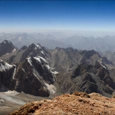
Pamir-Alay
76.7 km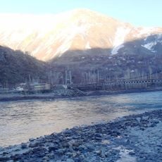
Tajik–Afghan Friendship Bridge
75.6 km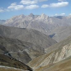
Zarafshan Range
105.3 km
National Museum of Antiquities of Tajikistan
137 km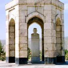
Мавзолей С. Айни
136.6 km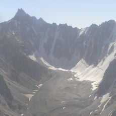
Kuh-e Safed Khers
121.5 km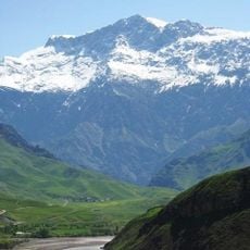
Kuh-e Kallat
116 km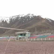
Gharm Stadium
4.3 km
Pik Piramidalnyj
65 km
Bahoriston
7.1 km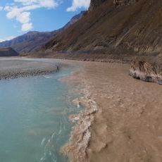
Surchob
25.6 km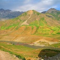
Shuroobod-Brücke
116.5 km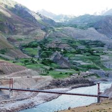
Pont de Chumrogi
121.2 km
Kuli Dushanbe (Dushanbe Lake)
134.3 km
Darab-Qal'a
75.9 km
Puppet Theatre
136.6 km
Lednik Archa-Bashy
82.6 km
Lednik Kshemysh
75.1 km
Lednik Ak-Suu
62.7 km
Lednik Yangi-Daban
114.8 km
Lednik Mynteke
76.1 km
Lednik Tamyngen
68.1 km
Lednik Tutek
65.1 km
Lednik Iali-Suu
106.2 km
Lednik Til'be
94.6 km
Lednik Raygorodskogo
82.3 km
Ak-Suu
126.5 km
Binisufiylar (qishloq, n. Rasht)
9.3 kmReviews
Visited this place? Tap the stars to rate it and share your experience / photos with the community! Try now! You can cancel it anytime.
Discover hidden gems everywhere you go!
From secret cafés to breathtaking viewpoints, skip the crowded tourist spots and find places that match your style. Our app makes it easy with voice search, smart filtering, route optimization, and insider tips from travelers worldwide. Download now for the complete mobile experience.

A unique approach to discovering new places❞
— Le Figaro
All the places worth exploring❞
— France Info
A tailor-made excursion in just a few clicks❞
— 20 Minutes