Kuh-e Kallat, Mountain summit in Khwahan District, Badakhshan Province, Afghanistan
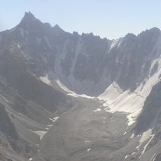
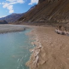
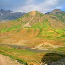
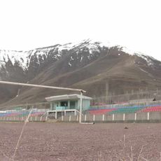
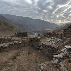
Kuh-e Kallat is a summit in the Pamir Mountains of northeastern Afghanistan, rising to roughly 4,090 meters. The peak sits within a landscape of steep slopes and rocky terrain characteristic of this remote high-altitude region.
The summit has long served as a landmark for local communities in the Badakhshan region. It has been an important reference point across generations for the movement and travel patterns of people in this area.
Kuh-e Kallat takes its name from the Persian word kalah, meaning a fortified place or stronghold, a common element in place names across the Persian-speaking highlands. The peak rises near Guzun village in Khwahan District, and its slopes and approaches are known to the villagers who live below it. The mountain is among the highest points in the district, and the surrounding ridges and valleys shape how people move between settlements.
Reaching the summit requires proper mountaineering gear and a local guide familiar with the terrain and conditions. Weather at this altitude can shift suddenly any time of year, so careful preparation and timing are essential.
The quadrangle containing Kuh-e Kallat was mapped by the United States Geological Survey together with the Afghanistan Geological Survey, using imaging-spectrometer data. The surrounding Badakhshan rocks span the Proterozoic to the Cenozoic, including Proterozoic schist and gneiss, Carboniferous and Triassic plutonic rocks, and Mesozoic and younger sedimentary rocks.
The community of curious travelers
AroundUs brings together thousands of curated places, local tips, and hidden gems, enriched daily by 92,794 contributors worldwide.