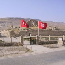
Tabarka, Tunisian town
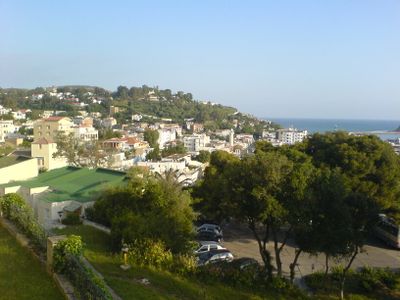
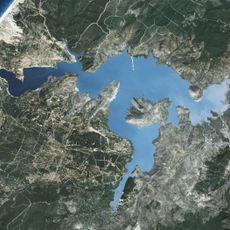
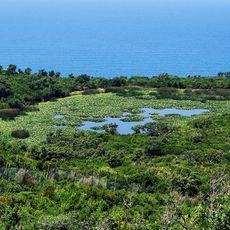
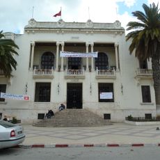
Tabarka is a coastal municipality in northwestern Tunisia, sitting between the Mediterranean sea and forested hills. It has a small harbor, an old quarter, and residential areas that stretch back from the shoreline toward the hills.
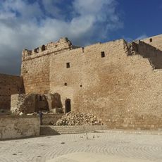
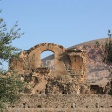
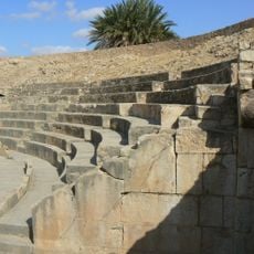
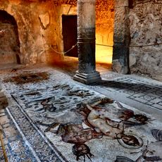
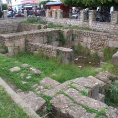
The town was established in the 16th century by Turkish corsairs as a base along the Mediterranean coast. Later, European merchants, mainly Genoese, took control and used it as a hub for coral trading.
The place takes its name from a Berber word for drums and was historically centered on fishing and coral trade. You can still see fishermen and artisans working in ways that reflect the area's maritime traditions and everyday rhythms.
The harbor area and old quarters are easy to walk through, while the hills behind the town center become steeper. Spring and fall tend to be more comfortable for outdoor visits than the hot summer months.
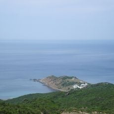
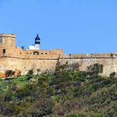
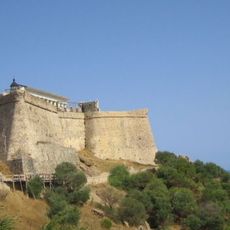
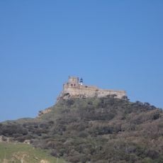
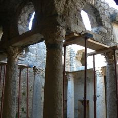
Just off the coast sits a small rocky island topped by a Genoese fort that is visible from the town and connected to the mainland by a narrow causeway. The fort was built to protect the coral trade routes and still stands largely intact today.
The community of curious travelers
AroundUs brings together thousands of curated places, local tips, and hidden gems, enriched daily by 60,000 contributors worldwide.