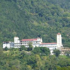
Arima, Administrative borough in Trinidad and Tobago.
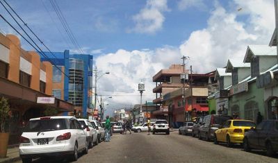
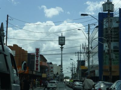
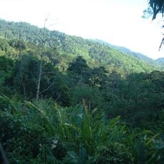
Arima is an administrative borough occupying the eastern part of Trinidad at the southern foothills of the Northern Range. Three major routes—the Churchill-Roosevelt Highway, Eastern Main Road, and Priority Bus Route—connect this region to surrounding areas.
The region received its royal borough status on August 1, 1888, following a petition to Queen Victoria during her Golden Jubilee celebrations. This recognition marked a turning point in the area's administrative development.
The Santa Rosa Carib Community organizes festivals during Borough Day celebrations in August, featuring street parades and traditional ceremonies that reflect indigenous heritage. These events remain central to how the community expresses its identity and connects with its past.
The region is easily accessible by regular bus and taxi services that connect to other parts of Trinidad. Visitors should be prepared for warm and humid weather, with temperatures ranging from 20 to 31 degrees Celsius (68 to 88 degrees Fahrenheit).
The name comes from a plant whose roots the First Peoples used for fishing techniques in local rivers. This knowledge reveals how early inhabitants worked with their natural surroundings.
The community of curious travelers
AroundUs brings together thousands of curated places, local tips, and hidden gems, enriched daily by 60,000 contributors worldwide.