
Kotel'nitsia, village in Volovets Raion, Zakarpattia Oblast, Ukraine
Location: Mukachevo Raion
Location: 下沃罗塔市镇
Elevation above the sea: 573 m
GPS coordinates: 48.82167,23.06611
Latest update: March 31, 2025 10:23
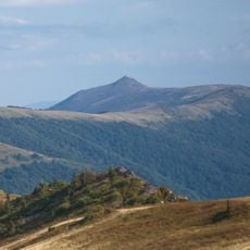
Pikui
4.9 km
Polonyna Runa
19 km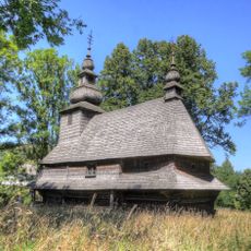
Holy Spirit church in Huklyvyi
17.1 km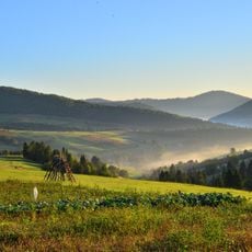
National Park "Boikivshchyna"
9.9 km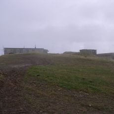
Plai
19.8 km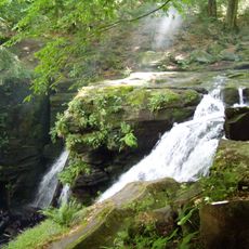
Voyevodyn waterfall
16.5 km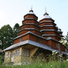
Cerkiew Najświętszej Bogurodzicy
10.9 km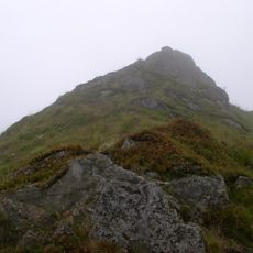
Temnatyk
18 km
Hostra Hora
14.2 km
Vysokyi Kamin Natural Monument
7.9 km
Berdo
15.7 km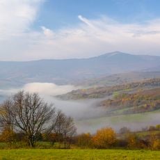
Pikui Reserve
4.6 km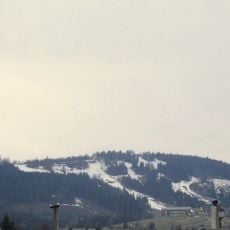
Dovzhky
8 km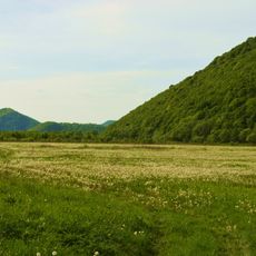
Turia Poliana Reserve
19.8 km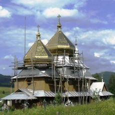
Saint Michael church in Smozhe
13.3 km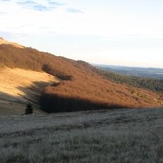
Lybohorivskyy Preserve
13 km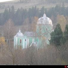
Saint Nicholas Church, Verkhne Vysotske
13.9 km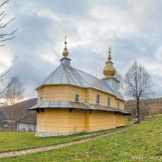
Church of the Ascension, Yalove
6.6 km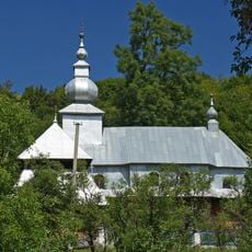
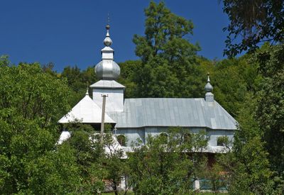
Holy Spirit Church, Kotelnytsia
599 m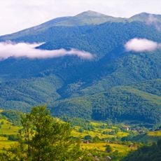
Pikui Botanical Reserve
3.3 km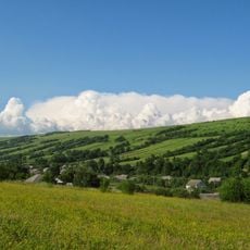
Holytsia
4.8 km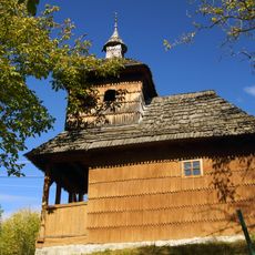
Saints Peter and Paul church, Uklyn
18 km
Бузок
8.6 km
Buzok Uhorskyi Natural Monument
12.3 km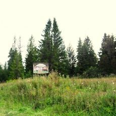
Khitar
18.4 km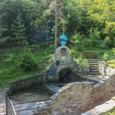
Бистрий
1.7 km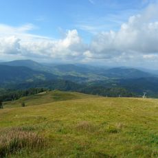
Тихий
19.2 km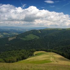
Temnatyk Reserve
17 kmVisited this place? Tap the stars to rate it and share your experience / photos with the community! Try now! You can cancel it anytime.
Discover hidden gems everywhere you go!
From secret cafés to breathtaking viewpoints, skip the crowded tourist spots and find places that match your style. Our app makes it easy with voice search, smart filtering, route optimization, and insider tips from travelers worldwide. Download now for the complete mobile experience.

A unique approach to discovering new places❞
— Le Figaro
All the places worth exploring❞
— France Info
A tailor-made excursion in just a few clicks❞
— 20 Minutes