Hostra Hora, Mountain summit in Zakarpattia Oblast, Ukraine
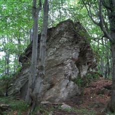
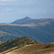
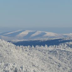
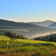
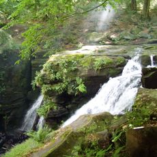
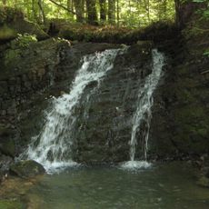
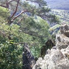
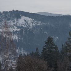
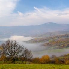
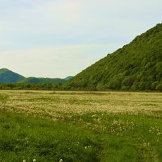
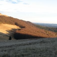
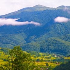
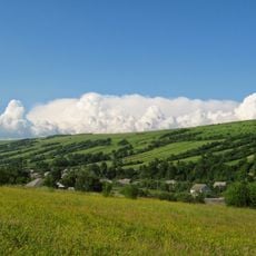
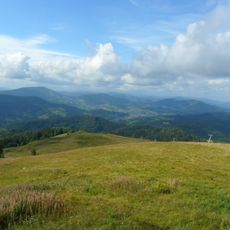
Hostra Hora is a mountain peak in the Ukrainian Carpathians with steep slopes covered in natural vegetation. The landscape features rocky sections and alpine meadows that change appearance with the seasons.
Hostra Hora lies on the boundary between the raions of Velykyi Bereznyi and Volovets in Zakarpattia Oblast, and Russian-language sources place it on the Uzhhorod–Mukachevo border; the two versions reflect the administrative reorganisations of the region. The ridge rises to two nearly equal summits, 1405.2 m in the northwest and 1404.3 m in the southeast, with a smaller third top further northwest. Its southwestern slopes hold the sources of the Liutianka river.
The name Hostra Hora means "sharp mountain" in Ukrainian, referring to the pointed profile of its two nearly equal summits. The upper slopes above about 1,300 m are polonynas, open highland pastures where Carpathian herders have traditionally grazed livestock in summer.
The ridge lies southwest of the villages of Perekresny and Kicherny, on the boundary of Zakarpattia Oblast's raions. Forest cover reaches roughly 1,300 m, with open polonyna meadows above, so the upper section is exposed. The Lutyanka rises on the southwestern slopes and the Preluchny stream on the southern slopes.
Hostra Hora is not a single summit but a short ridge of two nearly equal peaks: the north-western one reaches 1,405.2 m and the south-eastern one 1,404.3 m, with a smaller third top further north-west. The Ljutjanka river rises on its south-western slopes, and the Turie-Polianskyi zoological reserve lies just to the south.
The community of curious travelers
AroundUs brings together thousands of curated places, local tips, and hidden gems, enriched daily by 93,464 contributors worldwide.