
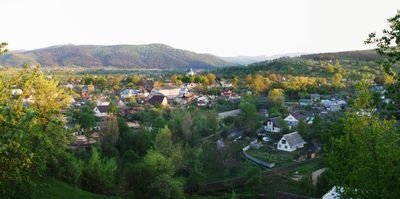
Deliatyn, administrative territorial entity of Ukraine
Location: Nadvirna Raion
Elevation above the sea: 423 m
Shares border with: Yaremche
GPS coordinates: 48.52861,24.62361
Latest update: March 6, 2025 10:21
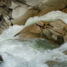
Probiy
11.7 km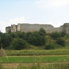
Pniv Castle
11.6 km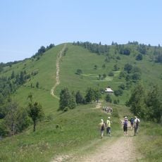
Makovytsa
8.9 km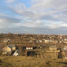
Lanchyn
9.7 km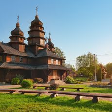
Dora (Yaremche)
6.9 km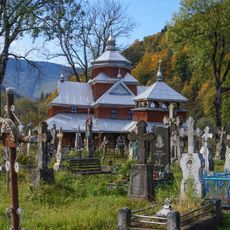
Yamna
10.9 km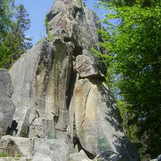
Bilyi Kamin, Dora
5.9 km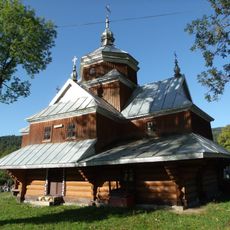
Saint John the Almoner church in Yaremche
11.7 km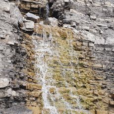
Kaplyvets Waterfall
10.8 km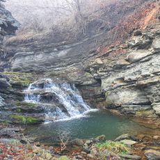
Zarichchia Waterfall
4 km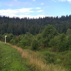
Klivsky Preserve
2.5 km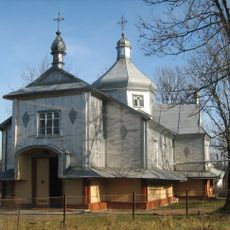
Church of the Nativity of the Theotokos in Deliatyn
255 m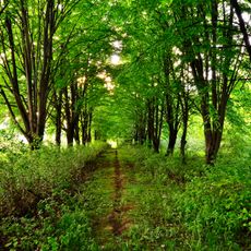
Partisan Glory Park
4 km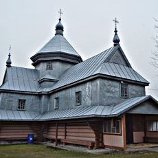
Saint Michael church in Dora
6.8 km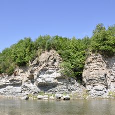
Dobrotivski vidslonennia
4.6 km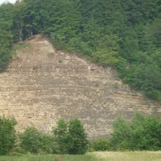
A rock on the right bank of the river Prut
4.2 km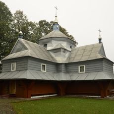
Saint Demetrius church, Bili Oslavy
7.1 km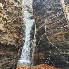
Kremenosa Waterfall
11.3 km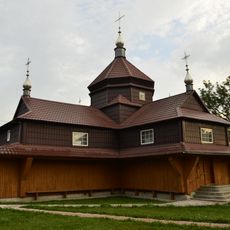
Immaculate Conception church, Bili Oslavy
8.2 km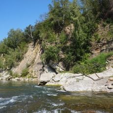
Malevskyy complex
2.3 km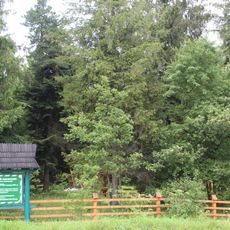
Strahora Preserve
5 km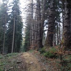
Debrytsia
6.1 km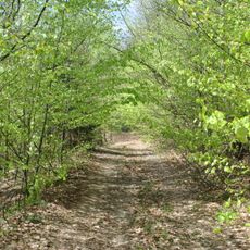
Pohar
8.9 km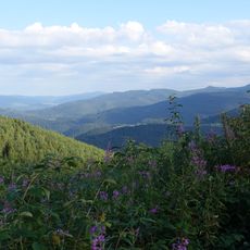
Wabryanka
11.6 km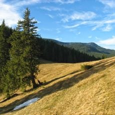
Yaseni
11.4 km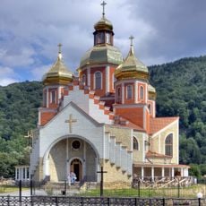
Nativity of St. John the Baptist
10.4 km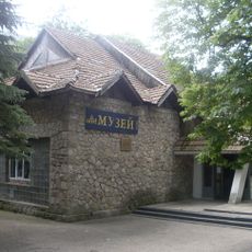
Yaremche museum ethnography and ecology
10.1 km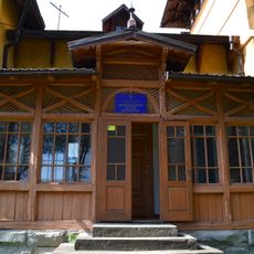
Deliatyn local museum
703 mReviews
Visited this place? Tap the stars to rate it and share your experience / photos with the community! Try now! You can cancel it anytime.
Discover hidden gems everywhere you go!
From secret cafés to breathtaking viewpoints, skip the crowded tourist spots and find places that match your style. Our app makes it easy with voice search, smart filtering, route optimization, and insider tips from travelers worldwide. Download now for the complete mobile experience.

A unique approach to discovering new places❞
— Le Figaro
All the places worth exploring❞
— France Info
A tailor-made excursion in just a few clicks❞
— 20 Minutes